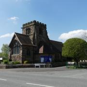
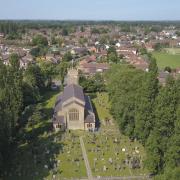
Need cheering up as the nights draw in? Put on your walking boots and head for Bollington… the self-proclaimed Happy Valley.
It's a sunny autumn day and Bollington is buzzing. Walkers and cyclists are burning the calories on Middlewood Way - the former railway line from Marple to Macclesfield - and on the towpath of the Macclesfield Canal; youngsters are practising their ollies and kickflips in the skate park beneath the mighty viaduct; trippers are exploring Bollington's history at the Discovery Centre; and the pubs and eateries of Bollington, of which there are many, are doing a healthy trade.
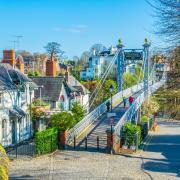
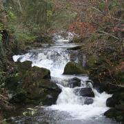
Yes, you can see why Bollington - a two-mile straggle of three villages melded into one - should have decided upon its nickname of Happy Valley. There is so much going on, and so much to commend this town in the hills: the characterful stone cottages, the well-preserved relics of its industrial past - not least that handsome Clarence Mill - and, of course the rural beauty into which you escape within minutes of sallying forth from the town centre.
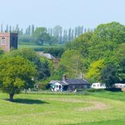
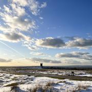
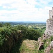
This easy five-mile walk takes you along the Middlewood Way, up to higher ground where you will be able to gaze down across Cheshire's flatter expanses and back to the town along the canal.

1. We begin from the car park at Rangers' Office in Adlington Road, Bollington SK10 5JT. With your back to the office, head towards the viaduct, following the sandy, stepped path up to the right. At the top, head right, following the sign along the Middlewood Way towards Higher Poynton. After passing under bridge 7, you will see ponds beside the path where - in summer - you will see reedmace (often referred to, wrongly, as bulrushes). Before bridge 9 even comes into sight, look out for a railway wheel-style marker on the left, marked Macclesfield 4 miles, Marple 6 miles, and take the path opposite this on the right, through a metal kissing gate and up a field with woods to the left.
2. At the top of the field, cross a stile and follow the bridge over the canal, continuing on to Sugar Lane. Go right here for a couple of minutes, then go left into what a sign tells you is a private drive, though a well-hidden wooden sign also informs you is the way for footpaths to Long Lane and Shrigley Road. At the first junction of paths, bear right past Breck Farm, and, on reaching the sign for Breck Cottage, go right into an overgrown path. This takes you into woodland where the path is less distinct. Keep going uphill and you emerge onto Long Lane.

3. Go right along Long Lane and you are soon enjoying expansive views over the Cheshire Plain. After a few minutes, look out for the white building on the left with an old lamp standard in the garden. A sign tells you that this is Long Lane Farm. Go right just before the farm on an overgrown path which takes you down stone steps and down the middle of a field. Head towards a densely wooded area where stone slabs make a path through what is likely to be a very muddy stretch. Keep ahead through a couple of very overgrown stiles and down a narrow path, then continue along a wide farm track to reach Sugar Lane.
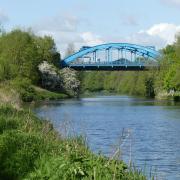
4. Go right here, then almost immediately left over a stile and up the right edge of a field. At a large tree, bear right over a stile and onto a footpath with trees on either side. Emerging onto a gravel drive, continue ahead and slightly right, following the gravel track to the road. Go left here, crossing the canal, and take the steps on the left down to the towpath. Go right along the canal for quite some time, passing Clarence Mill on the left, and passing over the Bollington Aqueduct, high above the road.

5. Just as bridge 27 comes into view, head right through a gate, and immediately right past the pretty Aqueduct Cottage (once a rest stop for the boatmen and a stable for the horses who pulled their barges) down a very steep set of steps to the road. At the bottom, cross the road and go into Bollington Recreation Ground, turning first left down steps and over the river. Follow the path along the river, and cross back over it towards the sports field, then head left. Reaching the road, you will see the car park which was the starting point ahead.
Compass points

Area of walk: Bollington
Distance: 5 miles
Time to allow: 2 ½ hours
Map: OS Explorer OL24
Refreshments: The Lime Tree, 18-20 High Street, Bollington SK10 5PH; Café Waterside, Clarence Mill, Clarence Road, Bollington SK10 5JZ


