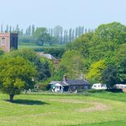
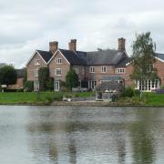
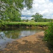
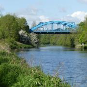
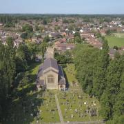
For a pleasant, easy winter walk, with no slippery stiles or boggy fields to cross, we head to Hassall Green and Rode Heath, just north of Alsager

The history of Cheshire is also a history of salt: the people it brought here, the towns it created, the way it shaped the very landscape.
The sea lapped over the Cheshire Basin more than 200 million years ago, and when the waters retreated and the salt marshes dried out, the precious NaCl remained, not too far below the surface.
When the Romans arrived in Cheshire, settlements grew around the places where salt could be extracted from brine springs. Any town with a -wich suffix - Northwich, Middlewich, Nantwich - is a salt town. Indeed, so much salt was extracted from beneath Northwich that by late Victorian times, the resulting subsidence in the town became a matter of national concern, prompting an Act of Parliament to compensate those affected.
We start this month's walk on the Salt Line, recalling the days when this area was busy with industry exploiting those salt deposits. There were brine shafts, and salt works in which that brine was boiled to yield the white crystals to salt our meat and feed a host of industrial needs, including the chemical industry so vital to Cheshire's economy.

The Salt Line is the former Sandbach to Wheelock branch of the North Staffordshire Railway, opened in the 1850s to serve the salt works all around here. By the 1890s, it was also a passenger line, taking passengers on excursions to Trentham Gardens, near Stoke. Now the former railway is itself a destination, for walkers who enjoy the woodland, fields, streams, pools and wildlife beside the track.
We set out along the Salt Line, and, reaching Rode Heath, we return via the Trent and Mersey Canal, opened in 1777. Designed by James Brindley and backed by Josiah Wedgwood - who, in the days of the horse and cart, saw the canal as the way to get his pottery unbroken to the customer - this was one of the earliest canals of the industrial age, following just a few years after the pioneering Bridgewater Canal into Manchester.
The good thing about this walk, in winter, is that much of the going should be firm, except for the potentially slithery section of towpath approaching Hassall Green.

1. There is a free parking area just off Alsager Road, postcode CW11 4XT. Exiting the car park, cross the road and walk onto the Salt Line heading towards Alsager. Do not take any of the paths off it, just continue on the main track for quite some time, crossing one road along the way.
2. When the path dips and ends at a main road, cross over and go up Cherry Lane, clearly marked opposite. After a few minutes, Cherry Lane reaches a main road with the Horseshoe Inn opposite. Cross over and continue on Cherry Lane.
3. You pass an unusual road sign - warning of frogs - just opposite Lawton Mere, which is on your right. Soon after this, bear left along a footpath, following a sign directing you towards Lawton Valley Kennels and Cattery. After passing the cattery entrance, the path narrows, crosses a stream then rises with steps to the canal.
4. Don't cross the bridge over the canal, but head left along the towpath. (Do cross the bridge, however, if you want to make a pit stop at the Broughton Arms pub). Keep on the towpath for some considerable time. There are quite a few boats to be seen along this stretch, even in mid-winter. Look out also for a couple of very handsome 19th century mile markers telling you the distances to Shardlow and Preston Brook.
5. Stay on the canal until you pass lock 57 and walk under the very low bridge 147, then turn sharp left back up to a road, heading right, downhill. You soon see the pink St Philip's Church - one of the pre-fabricated 'tin tabernacles' erected in the 19th century.
This one started life in Crewe Road, Alsager, but was moved to Hassall Green in 1895. Just before reaching the church, go left over a stile onto a footpath. Bear right at a kissing gate soon after along a field edge. Another kissing gate brings you back down the Salt Line. Turn right and you are soon back at the car park.
COMPASS POINTS
Area of Walk: Hassall Green and Rode Heath
Distance: 5 miles
Time to allow: 2 hours
Map: OS Explorer 268
Refreshments: The Horseshoe Inn, Sandbach Rd, Lawton Heath End, Stoke-on-Trent ST7 3RA; The Broughton Arms, Rode Heath ST7 3RU


