Keith Carter leads a walk from Mouldsworth which takes in a section of the Sandstone Trail
This month’s walk starts from Brine’s Brow Picnic Area a mile east of the village of Mouldsworth, a point on the junction of two of the many walking trails hereabouts, the Eddisbury Way and the Baker Way, both known mainly to walking groups and the robust members of the Long Distance Walking Association who don’t feel they’ve had a walk before they have 15 miles under their belt.
I was myself an early member of that intrepid band and used to marvel at the speed at which they could cover the ground. Not being able to keep up I had to cancel my membership and admit to having more in common with the Short Distance Walking Association. Four miles an hour as an average speed compared to my present rate of two on a good day!
The Eddisbury Way runs from Frodsham to Burwardsley in the Peckforton Hills and is 17 miles in length, well way-marked and a decent challenge for when the days are longer. The Sandstone Trail traverses this area too and we meet it for part of the walk. It’s a grand walk, 34 miles in length, full of variety and quite achievable over three days. I can recommend it, having done the walk with three friends a couple of years ago, our bags carried forward for us by a sherpa service.
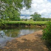
1 Brine’s Brow has some picnic tables but that’s about all. Park here and turn left out of the car park and at the crossroads turn right onto Dark Ark Lane. On reaching a railway bridge leave the road by a gate on the right, go under the bridge and turn right along a field margin skirting the railway. At a post, a yellow arrow points left across two fields. Leave the second field and drop down to a stile then a footbridge over a stream called Ashton Brook.
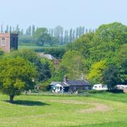
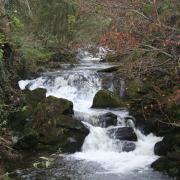
2 Climb the bank the other side then keep left along the edge of a field before entering an enclosed path by a stile. A built-up path follows the top of a bank, the ground falling away to the left to where the stream runs along a wooded ravine. We come to a stile and enter a field, rising to a gate and stile from where we keep to a right hand field boundary round two sides to reach a gate at the tiny settlement of Manley Common, nothing more than a few sandstone cottages.
3 Here we join the Sandstone Trail and turn right, walking on the lane as it slowly rises to New Pale. The word ‘pale’ means an enclosure or fenced area from the Latin ‘palus’. Remain on the lane, the Sandstone Trail leaving us to strike off right. Keep on the lane past another group of houses and just before a turning to the right, Bushells Lane, look for a footpath sign on the left from where a path heads downhill between a fence and a hedge. Cross a stile, follow a right hand boundary hedge, go under HT cables and at a sandy track that could be horse gallops cross over and continue on the same line.
4 At a gate we join a lane at a bend and turn right. Continue as far as a T-junction and turn left onto the Manley Road. This is a busier road than any we have been on so far but the verge is wide enough to walk on in single file. There’s an oddly-named lane on the right, Yarrangall Green.
The name seems to derive from a spinning aid, a yarnwindle according to the OED although others might offer another explanation. We remain on the road and soon come to a junction, reuniting us with the Sandstone Trail.
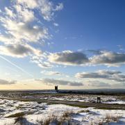
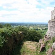
5 Turn left and cross to the pavement on the far side bringing us up to the brow of Simmonds Hill where at a lay-by there is a fine view over the Cheshire Plain. Continue into Manley village. If you want to visit the Goshawk pub in Mouldsworth you need to take the next right from where a sign says three quarters of a mile. Unusually for us we ignored the temptation and strode purposefully on, the day rapidly putting up the shutters.
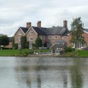
We pass the village school, then a sign on the left to Manley Knoll a private house in the Arts and Crafts style where the gardens are open tothe public on two days during the year, late May or June. Opposite aright turn to Pingot Lane, a kissing gate and sign on the left leads usalong a fenced path beside the grounds of Ravelstone House to astile where enticing signs advertise a café, Stone House Farm which wepass while crossing a small paddock.
A hand-written sign read Veg Soup as we passed by as well as sausagesandwiches and a brew. If only we had had more time.
A stile leads on to a lane where we turn left and walk into Manley Common, arriving at the point we were at on our outward leg. Here wereturn to Brine’s Brow by the same route we came out on, quickeningour pace as the last of the daylight began to fade. It had turned noticeably colder and thoughts of home brought us back to the car.


