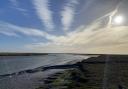
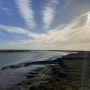
Take a stroll around the attractive village of Colne Engaine following part of the River Colne from where the village gets its name | Words and photos: Laurie Page Public Rights of Way Team at Essex County Council

The walk
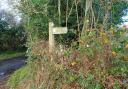
1) Turn right out of the car park and walk uphill along the road to the triangular green. Take the shady footpath next to the sign ‘The Green’ going alongside a cottage. You emerge in a corn field. Keep alongside a hedge and ditch to your right. When you reach the lane, turn left.
Proceed along the lane until you reach a footpath on the right, going over a stile and down between horse paddocks. At the end you are forced left and then almost immediately right through a gap in the fence.

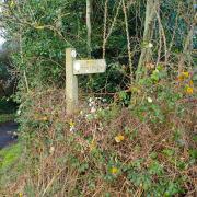
2) Go down along the field edge to a footpath junction. Go right through the gap in the hedge and then bear left around the field edge, with the stream on your left.
Near the end, pass a ford over the stream then at the junction turn right, away from the stream between hedges. This turns sharp left then after an S bend you continue on to a kissing gate by the lane.
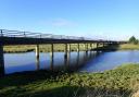
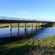
3) Turn left along the road and soon after, just before the pink cottage, turn right onto a footpath into the grazing field. Follow the main track into the next field. At the end on the right, the footpath goes up a bank and then left by the weir over a footbridge.

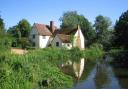
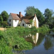
Follow a narrow path between the fence and a babbling brook. At the end you cross a footbridge to the right. After crossing, bear left along a wide track. Pass by the old mill buildings to the road.
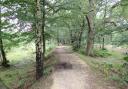
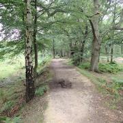
4) Turn right and follow the road to the next bend by the converted chapel. Follow the footpath on the left side of the road, going alongside a crop field with a hedge to the left. Continue through a wooded area and turn right along the raised path (the old railway line). At the end bear right and follow the line of the river. At the fork, keep right, cross a footbridge and go straight on through the trees.
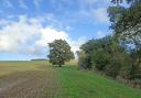
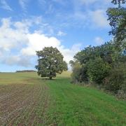
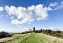
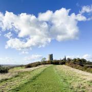
Then proceed along the edge of a large wheat field. The church comes into view to the right. When you eventually reach the road, turn right. You can use the permissive path that runs parallel on the right to avoid the traffic. This joins the road further up the hill. The car park is at the top of the hill on the right.
Ordnance Survey maps are available from all good booksellers and outdoor stores or visit the online shop www.ordnancesurvey.co.uk/al
Distance: 3.3 miles.
Starting point: Village Hall car park (Sat Nav CO6 2ES)
How to get there: From the A1124 that runs between Halstead and Colchester, at Earls Colne turn into Station Road, which takes you into the heart of the village. The car park is on the right at the road junction behind the village hall.
Map: OS Explorer 196 Sudbury.
Refreshment: The splendid Five Bells pub is located in the village.
Tourist Information: 1 Queen Street, Colchester. Call 01206 282920 or email vic@colchester.gov.uk
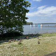
Places of interest nearby: Halstead, just two miles to the west, is an ancient market town. In the old Townsford Mill building is housed an antiques centre with all sorts of bygones and collectables.