Enjoy a winter walk from the quaint village of Woodham Walter, using footpaths and the little lanes that run around the village
")
The Walk
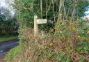
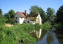
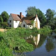
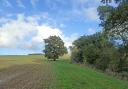
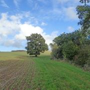
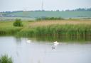
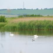
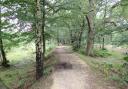
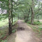
1. From the Bell pub, head up the road towards Danbury. At the church of St Michael Archangel, take the footpath on the left which is the entrance to the church. The path runs along the side of the metal fence then out onto the edge of a large field. Woodham Walter Hall can be seen to the right. Continue down to the woods where there is a footbridge and bear slightly right through the trees and you soon emerge along the edge of a very large field. At the little clump of trees, by the footbridge, turn left at the footpath junction.
")
2. Follow the line of the ditch to your left. The path then crosses the ditch and you continue with the ditch now on the right. At the way marker post soon after, go straight ahead. The path swings right then just before the metal gate, you go left through a kissing gate, past the converted barn and then through a gate to the lane. Proceed straight on along Hop Gardens Lane. Continue to follow this for some distance. It swings right and eventually you will reach a road T-junction where you turn left. Follow this lane all the way to the end, where you reach a road junction.
")
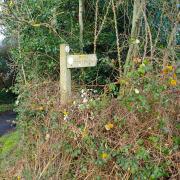
3. Here, go straight ahead. Just before the bridge, where there is a little grass triangle, go left where you will see a footpath finger post. Follow this shady path between hedges. It then bends left along by the boundary fence of a field. At the far corner get over a stile, where you are forced right and proceed to the lane. Turn left along the lane and at the T-junction turn left again. At the next junction, turn right into Rectory Road. Pass the village hall, the primary school and the Queen Victoria pub, taking you back to the junction by The Bell pub where you started.
COMPASS POINTS
Distance: 3.1 miles (5 km).
Starting point: There is a small lay-by opposite the Bell Pub situated at the southern end of the village.
How to get there: From the A414 between Danbury and Maldon, go north at Runsell Green on Heybridge Park Road, or north from Woodham Mortimer on Oak Farm Road. Both will take you past the parish church to the Bell pub.
Map: OS Explorer 183 Chelmsford and the Rodings.
Refreshments: The Bell pub at the start of the walk or The Queen Victoria pub towards the end of the walk.
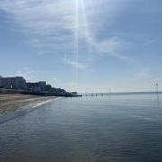
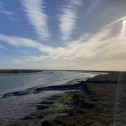
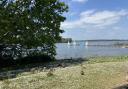
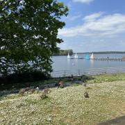
Places of interest nearby: Three miles to the east is the ancient historic town of Maldon. Visit the Moot Hall, a 15th century brick tower used as a manor house, prison, police station, court house, armoury and council chamber. It has views of the town from the top. There is also Thomas Plumes Library founded in 1704 and the Promenade with its park, by the River Blackwater.
Ordnance Survey maps are available from all good booksellers and outdoor stores, or visit the online shop at ordnancesurvey.co.uk
------------------------
READ MORE