Follow Steve Davison as he heads to the Meon Valley for a wander through Exton and Warnford with some great views from Beacon Hill
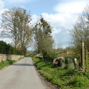
First off the walk goes through the hamlet of Exton, passing the 12th century Church of St Peter and St Paul. Inside, on the east wall behind the altar, is a stencilled wall painting and three stained glass windows designed by Charles Spooner in the mid 1890s; slightly off route is The Shoe pub.
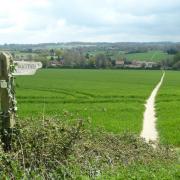
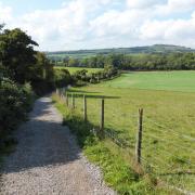
We then continue through fields following the South Downs Way up to Beacon Hill; the South Downs Way, one of the country’s National Trails, meanders for 100 miles through the rolling chalk landscape from Winchester to Eastbourne. Take a rest at the trig point and admire the views to the east across the Meon Valley towards Old Winchester Hill and the more distant Butser Hill.
The walk soon leaves the South Down Way in favour of the Monarch’s Way. This rather long 615-mile long-distance footpath from Worcester to Shoreham follows the escape route taken by Charles II in 1651 following his defeat by Cromwell at the Battle of Worcester during the English Civil War.
After a gradual descent we arrive at Warnford, home to watercress beds and the George and Falcon pub. After crossing the A32 the walk heads eastwards before turning south towards Peake Farm. The final leg follows the line of the former Meon Valley Railway for a while before crossing the River Meon to arrive back at the start. The railway, which ran between Alton and Fareham opened in 1903, however, after 55 years of service the line was closed in 1968. Part of the old railway now forms the Meon Valley Trail which runs for 10 miles between Alton and Wickham.
Information
• Distance: 6.5 miles (10.6km)
• Time: 3 hours without stops
• Start: Small parking area (SU617212) at the junction of Church Lane (signposted to Exton) and A32, about 2.5 miles south of West Meon
• Terrain: Includes a stiff climb up Beacon Hill, tracks and paths which can be muddy, dog-friendly stiles and gates, and sections of road
• Map: OS Explorer 119
• Refreshments: Exton – The Shoe (01489 877526); Warnford – The George and Falcon (01730 829623)
• To find out more about Steve, including his books, visit: www.steve-davison.co.uk
The walk
1 (SU617212) – Head south-west along Church Lane for quarter of a mile to a junction; 150m along Shoe Lane is The Shoe pub. We keep right – soon passing the church – following the lane as it curves left before turning right along a track signposted for the South Downs Way (SDW). Go through a gate, follow the right-hand field edge and then through another gate. Here the path splits, take the right-hand fork (SDW) heading north-west down across the field. Go through a gate and head uphill. Cross two stiles and continue to another stile in the hedge. Once in the next field, continue in the same direction, crossing two stiles either side of a track, and head up to the hedge. Go through two gates and continue steeply up across the corner of the field. Go through another gate and continue uphill before leaving through a gate at the corner.
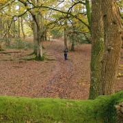
2 (602220) – Turn right along the lane for 100m, then turn right following the enclosed bridleway uphill. Go through the gate to enter Beacon Hill NNR and follow the fence on the right (views to right) before turning sharp left to pass to the right of the trig point. Continue along the track with Beaconhill Beeches on the right. Go through a gate to a junction with a lane (car park on the right) and bear half-right to go through a gate and follow the bridleway down through the trees; the walk is now following the Monarch’s Way. Go through a gate, cross over the track and keep ahead through the field, later following the fence on the right gently downhill, then continue with trees on the left. Go through a gate and follow the enclosed route downhill. Pass through a gate and turn left down the track, later curving left beside the buildings to join a minor road at Wheely Down Farm.
3 (SU612233) – Turn right and follow the minor road for half a mile (care required), passing the Hogs Cricket Ground and then some watercress beds to reach the A32. Turn left, passing Warnford House (left) and then fork left along Lippen Lane to a junction. Turn right to arrive back at the A32 beside the George and Falcon pub. With care, cross the A32 and follow Hayden Lane (take care at blind bend), later crossing the bridge over the disused railway. Keep ahead for 300m and turn right along the track (footpath sign). Pass some trees and start descending (seat on right, view on left); later follow the track as it swings left.
4 (SU632219) – At the buildings turn right over a footbridge and follow the enclosed path heading south to a lane. Here we part company with the Monarch’s Way and turn right along the lane for quarter of a mile. Just after the old railway bridge turn left to follow the old track bed for half a mile. Ignore the bridleway to the left and just before the brick bridge, turn right down the steps. Follow the narrow path alongside the fence on the right. Turn right along the track to reach the River Meon. Cross via the footbridge and keep ahead. With care, cross over the A32 to arrive back at the parking area.
More…
• Winter walks in Hampshire - Is there anything more refreshing than a stroll on a crisp winter’s day? We don’t think so! Here are a few of our favourite rambles across the county to enjoy this season


