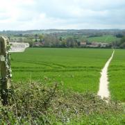
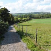
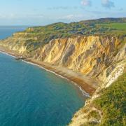
Follow Steve Davison as he heads to Netley for a wander through Royal Victoria Country Park with views over Southampton Water
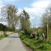
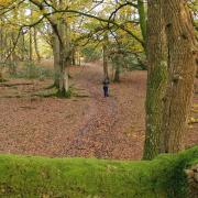
Before starting the walk at the little village of Hound, take a look at St Mary’s Church with its weather-boarded tower; it was built around 1230 by Cistercian monks from St Andrew’s Priory at Hamble le Rice. The first part meanders through St Mary’s Wood – a local community woodland – before following the railway line for a while and then heading through Westwood nature reserve to arrive at the romantic ruins of Netley Abbey.
Peter des Roches, Bishop of Winchester, founded the Cistercian abbey in 1238, however, following Henry VIII’s Dissolution of the Monasteries in 1536, the abbey was granted to Sir William Paulet who converted the buildings into a grand mansion. By the late 18th century, the buildings lay in ruins and became the inspiration for artists such as John Constable who painted Netley Abbey by Moonlight in the 1830’s and writers including the poet Thomas Gray; Hampshire’s famed author, Jane Austen, is said to have gained inspiration for Northanger Abbey after visiting the ruins.
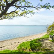
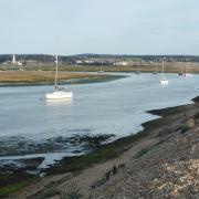
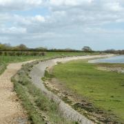
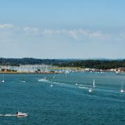
We leave the abbey behind, following part of the Solent Way, a 60-mile distance from Milford-on-Sea to Emsworth Harbour, towards Netley, making a loop round the ‘Cricket Field’ for a view over Southampton Water which has, over the centuries, seen many great ships sail past.
Head through Royal Victoria Country Park, now home to a cafe and miniature railway, but originally the site of a great military hospital built in the 1850’s. It lasted only a hundred years before being demolished in 1966; one of the few reminders left is the grand red-brick hospital chapel.
The final leg takes us through West Wood and along part of the Hamble Rail Trail before heading back to Hound; the short trail follows part of a disused railway built towards the end of WWI.
Information
• Start/finish: layby on Hound Road beside the church (SU470087), just west from the B3397
• Map: OS Explorer OL22
• Distance: 5.25 miles (8.4km)
• Terrain: fairly level walk along tracks, paths (which can be muddy) and some sections of road, some gates but no stiles
• Time: 2.5 hours without stops
• Refreshments: Netley Grange (023 8045 5769); Prince Consort (023 8045 2676); cafe at Royal Victoria Country Park (023 8045 4296)
• More Information: To find out more about Steve, including his books, visit: www.steve-davison.co.uk
The walk
1 (SU470087) – From the layby head west alongside Hound Road, cross over the lane and continue for 40m. Just before the village sign turn left on a path through St Mary’s Wood. Pass a vehicle barrier and continue up the lane (Netley railway station is off to the left) to a T-junction. Cross straight over, turn left for 20m and just before the bridge turn right along the surfaced path (railway on left) for 700m. Follow the path as it swings right, then turn left to the road. Turn left again and follow Grange Road (care required – no pavement) for 250m, crossing the bridge over the railway.
2 (SU459092) – Just before the Netley Grange pub, turn sharp right and go through a kissing gate to enter Westwood nature reserve. Follow the main path as it quickly swings left and follows the trees for 200m. Keep to the path as it turns left, later pass a gate and ignore a grassy ride on the right. Keep left at the split, then left at another path junction beside a wooden pylon and follow the waymarked path with the fence and field on the right. Follow the enclosed path left and right, go through a kissing gate and turn right along the track to Abbey Hill road. Turn left along the pavement to reach Netley Abbey on the left.
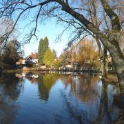
3 (SU452089) – Continue along the pavement to a junction with Grange Road, here turn right down beside the ‘Cricket Field’ to Southampton Water. Turn left along the sea wall for a short way then left again up the track, back to Victoria Road. Turn right and keep straight on at the junction with Station Road, soon passing the Prince Consort pub. After the sailing club the water comes back into view; on the left is Sophie’s Pond. Follow the road into the Royal Victoria Country Park and take the right-hand fork for 600m. Where this swings left, at the Seafront car park (left goes to the cafe) keep ahead past the vehicle barrier for 250m to reach a memorial on the right commemorating the 50th anniversary of D-Day.
4 (SU462075) – Turn left to the chapel, then turn right along the gravel path. At the end, turn left to a junction and fork right along a surfaced track through West Wood. At the junction, go right along the cycleway / path as it curves left and right and then continues alongside a high fence (recreation ground to the left). At the road (pavement) turn left for 300m and after the school, bear left to follow the Hamble Rail Trail northwards. On reaching the railway, bear left and follow the path (railway on right) for 600m. Keep right at the split and just before the bridge follow the enclosed path to the left (houses on left). Go through a kissing gate and turn sharp right along the lane, crossing the railway. Keep ahead to a junction passed earlier and turn right back to the start.
More…
• The ultimate Hampshire walking guide - With the New Forest, South Downs and a picturesque coastline, Hampshire is an amazing place for a walk. We round up a few of our favourites


