Head to Hampshire’s most western parish for a wander through the rolling landscape of the Martin Down National Nature Reserve says Steve Davison
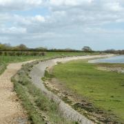
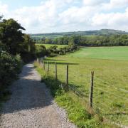
Tucked into the western reaches of Hampshire, close to the little village of Martin is the rolling downland landscape of Martin Down National Nature Reserve.
The reserve, one of the largest areas of continuous chalk downland in Britain, is often referred to as one of the jewels in Hampshire’s crown.
It offers a wide variety of flora and fauna, including early gentians and twelve species of orchid, a myriad of colourful butterflies, five species of bat, and a range of birds from skylarks and turtle doves to nightingales and the rare stone curlew. For anyone interested in star-gazing, the absence of light pollution makes it a great place to study the heavens too.
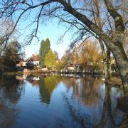
From the car park the route meanders through part of the nature reserve before heading for Martin, where thatched cottages huddled round the village green complete with an old water pump and Millennium Memorial. The nearby church of All Saints dates back to Norman times, though most of what you can see dates from the 14th century - a plaque on the church tower mentions that the clock was given in 1966 in memory of Sir Winston Churchill. Incidentally, parts of the 1984 Dr Who episode The Awakening, starring Peter Davison as the fifth Doctor, were filmed in the village, including outside the village hall.
After wandering through the village we climb back up into the nature reserve to meet up with an ancient earthwork known as Bokerley Dyke (though marked on the map as Bokerley Ditch). Consisting of a broad bank and ditch winding through the downs for three miles, Bokerley Dyke is thought to date from the late Bronze Age and was later used by the Romans - even today, the dyke forms part of the boundary between Hampshire and Dorset.
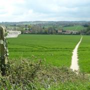
We follow this majestic earthwork north-westwards, with far reaching views across the downland scenery, to arrive back at the start. There are a number of paths across the nature reserve, giving several opportunities for a shorter walk, if required.
Information
• Distance: 6 miles (9.7km)
• Time: 3 hours without stops
• Terrain: Ups and downs, tracks and paths which can be muddy, few stiles and gates, short sections of road
• Start/Finish: Martin Down NNR car park on the A354 (SU036201); alternative start from small car park (Point 2 on the map) beside All Saints Church in Martin (SU070195)
• Map: OS Explorer 118 and OL22
• Refreshment: None on the walk; pubs at Rockbourne (Rose & Thistle: 01725 518236) and Damerham (Compass Inn: 01725 518231)
The walk
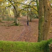
1 (SU036201) - From the back of the car park take the wide gravel track heading south-eastwards for two-thirds of a mile, passing the disused rifle range, and ignoring a track to the left, to reach a crossing bridleway. Turn left for 400m, then continue straight on along the hedge-lined track – Townsend Lane – for 1 mile, passing a barn (left). Shortly before the lane, turn right into the field and follow the path diagonally left across the field to a path junction. Bear left over the stile and continue along the tree-shaded path, soon crossing another stile to a path junction. Turn right, cross a stile and then go through gates to join Sillen Lane. Turn left to the small green – spot the old water pump – and take the right-hand fork to the main road. Turn right for 50m then left along the lane to its end.
2 (SU069195) - Keep ahead through the gate and follow the path through the churchyard, passing just to the left of All Saints Church, before leaving through a gate. Keep ahead, go through the kissing gate to a path junction in the field and turn right alongside the hedge. Keep ahead through two kissing gates to a path junction and turn right. Go through another kissing gate and turn right along the track, following it as it swings left to join a road. Turn right for 100m and then left along the track (bridleway). Keep ahead up the hedge-lined track for three quarters of a mile and enter the nature reserve.
3 (SU063185) - Bear diagonally left over the open grass. Pass some scrub beside the corner of a field and keep ahead for 25m before turning right, then left to follow Grim’s Ditch (left) for a third of a mile to a junction. Turn right and follow the route downhill, keeping the earthworks of Bokerley Dyke on the left, to reach a crossing track and seat. After enjoying the views continue straight on down beside the earthwork to a dip, with a belt of trees over to left.
4 (SU050187) - Ignore the crossing track and keep ahead bearing north-west slightly uphill, still following the earthwork. Ignore a crossing route and continue beside the earthwork. At the top of the rise keep ahead alongside the earthwork for a further 200m towards the disused rifle range (anyone who started at the church should turn right (east) here and follow the bridleway for 600m and then continue with the first part of the walk). To continue back to the car park on the A354, bear half right and then head northwards along the track, retracing the outward route.
More…
• Hampshire walk around Upton Grey - Explore the countryside around Upton Grey and discover one of the most complete Gertrude Jekyll gardens in the UK says Steve Davison


