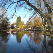
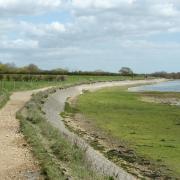
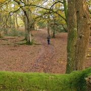
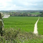
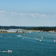
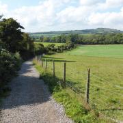
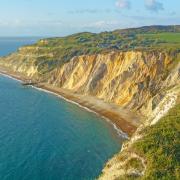
Steve Davison leads the way on a 5 mile walk to the south-east of Basingstoke.

Information:
Distance: 5 miles (8.1km)
Time: 2 1/2 hours without stops
Terrain: Gentle ups and downs, tracks and paths which can be muddy, stiles and gates, sections of minor road
Start/Finish: Limited parking beside St Mary’s Church in Mapledurwell just south of the village pond; grid ref SU697486
Map: OS Explorer 144
Refreshments: Mapledurwell – The Gamekeepers (01256 322038)
More Information: To find out more about Steve, including information on his walking books, visit: www.steve-davison.co.ukOur walk this month starts from the village of Mapledurwell just to the south-east of Basingstoke. The name Mapledurwell is derived from ‘maple tree spring’ and there are several springs around that were, at one time, used for growing watercress. Situated to the south of the village is St Mary’s Church, with its plain weather-bordered turret. Parts of the church date from the late Norman period and inside memorials include a 16th century brass to John Canner and his wife, Agnes.
From here the walk passes through open farmland and woods to reach the aptly named Five Lanes End – where five tracks join – before heading north to Up Nately with distant views of Basingstoke. Here we follow a short section of the disused Basingstoke Canal. The canal, which opened in 1794, was never a great commercial success and sadly fell into disrepair. Despite this neglect, part of the canal from the Greywell Tunnel to the Wey Navigation Canal has been restored and is now navigable; the section that we pass is home to a local nature reserve.
The walk then passes the red-brick and flint St Stephen’s Church; parts of the church are around 800 years old, however, most of what you can see dates from the mid-19th century. The final section heads across fields back to Mapledurwell passing The Gamekeepers pub before arriving back at the start.
1 (SU697486) – From the parking area beside St Mary’s Church head west through a small gate and follow the enclosed path between the churchyard wall and fence, keeping the church on the right. Continue straight on between hedges, soon with farm buildings on the right and go through the kissing gate at the field corner. Turn left and follow the track alongside the left-hand hedge to the field corner. Go through the trees and turn left along the tree-shaded track, later heading uphill to a junction at Five Lanes End.
2 (SU695502) – Turn left for 100m then right into the field and follow the hedge on your right to a marker post and head half left across the corner of the field. Go through a hedge gap and continue through the next field following the left-hand margin – to the left you can see Basingstoke. Cross a surfaced track with barns to the left and go straight on to follow the left-hand margin. At the trees go through the kissing gate and continue along the enclosed path to a junction. Turn right, go through a kissing gate and continue across the field towards the trees. Go into the next field and turn left keeping the trees on the left.
3 (SU701518) – Cross the lane and dogleg right-left into the right-hand field and follow the left-hand margin, heading north-east. Go through a kissing gate and keep ahead along the enclosed path. Turn left along the surfaced track past Eastrop Farm House and after crossing Eastrop Bridge turn left to follow the towpath with the disused canal on the left. Just before the next bridge (Slade’s Bridge) bear half right through the trees and turn left along the track (Heather Lane), soon with houses on the right to a junction. Cross over and take the path opposite, keeping St Stephen’s Church in Up Nately on the left. Go through a kissing gate and continue along the right-hand field boundary. At the field corner turn right through a kissing gate (passed earlier) and at the path junction go straight on (earlier we joined from the left) to a road and turn left.
4 (SU697517) – Just before the first house on the right, turn right through a kissing gate and follow the left-hand fence through another kissing gate. Turn left and at the field corner bear right staying in the same field, later dogleg left-right into the next field and continue, now following the right-hand field margin. Turn left at the corner for 75m and go right through a gap in the hedge. Follow the right-hand field margin gently uphill, ignore the crossing track (Andwell Drove), go through a kissing gate and continue straight on. Pass through gates either side of a lane, cross a footbridge and stile and continue along the enclosed path. Keep ahead across the field, cross a stile and pass between houses in Mapledurwell. Turn left past Webb’s Farm House and continue down the lane passing The Gamekeepers to a junction by the village pond. Go straight on (signposted for the church) and take the right-hand fork back to the start.


