A peaceful and pretty Peak ramble with Pat and David Tidsall

DIRECTIONS
From Bakewell take the A6 and in about 1½ miles turn right to Ashford-in-the-Water on the A6020. In 250 metres turn left onto the B6465 and follow this B road round a right-hand turn signed Monsal Head. Follow the B6465 for four miles passing Monsal Head and Wardlow. At the junction with the A623 turn left. In about 1½ miles turn left to drive into and through Tideswell on the B6049. About one mile from the centre of the village turn left into the Tideswell Dale picnic area and car park.
DESCRIPTION
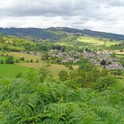
The parish church – ‘Cathedral of the Peak’ – is well worth a visit. This large village has an interesting history recorded in Domesday Book. There are a number of books and pamphlets giving the historical background.
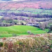
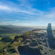
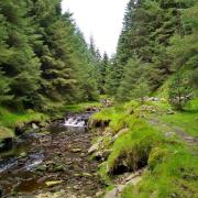
The gradual climb up from the car park, through the village and the fields leading to the Limestone Way, is not difficult and, with luck, not muddy! The stony track to Miller’s Dale goes gently downhill, then you will follow the pretty minor road alongside the River Wye before turning up the peaceful, easy, shale path of Tideswell Dale.
Map: White Peak OL24
Distance: 5 miles
Total height climbed: 250ft
Car Parking: Grid Ref. SK154742 off the B6049 between Miller’s Dale and Tideswell village
Paths: Field and dale paths and tracks
Stiles: 15
Refreshments: In Tideswell and Miller’s Dale
ROUTE INSTRUCTIONS
1. From the car park walk up towards the village keeping the road on the left. First you will have a line of beech trees on the left then you pass through a small gate to follow a wall on the left. In about 200 metres go through the small gate on the left to join the road. Cross the B6049 and turn right to walk up to Tideswell. (A)
2. On the outskirts of the village and just after Richard Lane on the left, turn left up stone steps by the bus stop.(B) Turn right along the narrow village road, Thorncliffe Terrace, and just before The Horse and Jockey turn left up the steep Primrose Lane. (C)
3. Cross the road diagonally right to go through the stile by a gate. (D)
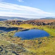
4. Walk up three fields keeping a wall close on the right. Cross a track diagonally to go over the stile. Keep straight on with the wall still on the right to cross four fields. In the fifth field bear left over the stile then continue ahead to cross three more fields. Now keep straight on down the middle of a field aiming for a wall corner and passing a dewpond on the left. Cross the wall stile to follow the wall close on the left up to and over the stile in the field corner.
5. Turn left along the Limestone Way. Follow the winding track, ignoring tracks and paths on the left. After about one mile you pass through a gate to start the gradual descent into Miller’s Dale.
6. Soon you will walk behind a house, go through a farm gate, cross a concrete drive, and turn right signed Limestone Way. (F) Keep straight on to join a stony track, going through a gate and eventually joining the road.
7. Turn right down the minor road to join the B6049 in Miller’s Dale. (G) Continue in the same direction for a few metres then turn left down steps. Turn left again to follow the ‘No Through Road’ sign to Litton.
8. In one mile, and having passed the entrance to the Youth Hostel, leave the road to turn sharp left just after the ‘No Public Parking at Litton Mill’ sign. (H)
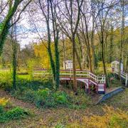
9. Walk up the very peaceful dale for nearly one mile back to the car park and picnic area. In one stretch of the dale you can walk on either side of the stream. There are a number of conveniently placed benches and some interesting wood sculptures.(I)


