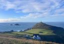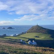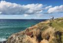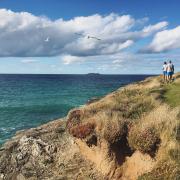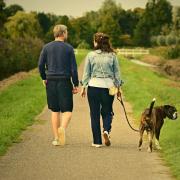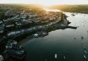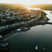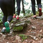

To celebrate the new slate waymarkers now decorating Cornwall’s coastal paths, this month we follow one if its incredible walks from Portreath to Hayle taking in some incredible beach and cliff views of the sea and land.

The 100kg signs are too heavy to lift - and made out of slate, to protect them from becoming beach barbecue fuel. The large waymarkers use locally sourced slate and have been hand-carved by Cornish stone carver Peter Martin with Cormac Solutions Ltd who carried out the work on behalf of Cornwall Council. The new waymarkers have been positioned through the dunes between Godrevy and Hayle, and north of Perranporth making it easier than ever to follow the walk.
The walk
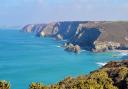
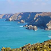
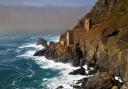
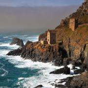
After leaving Portreath the Coast Path follows the cliffs with some beautiful views of rocky coves, such as the wonderfully named Ralph’s Cupboard, apparently a favoured smugglers’ spot for stashing loot. After just a couple of steep climbs the Coast Path soon levels out and walking becomes fairly straightforward. As you follow the sheer cliffs, surrounded by brightly coloured spring and summertime flowers, such as blue sheep’s bit, primroses and yellow rattle, look down to the contrastingly raw, jagged reefs below.
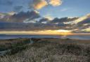
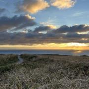
Seals are a common sight around the waters of Godrevy and Gwithian and sunfish and basking sharks have been spotted from the North Cliffs. The dunes behind the spectacular beach which stretches from Godrevy Point to the entrance of the Hayle estuary are also rich with wildlife - and don’t forget to look out for the new slate waymarkers as you go! n