Explore the ancient oaks of Calke and the new plantations of the National Forest
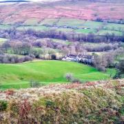
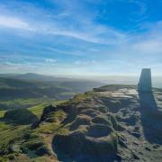
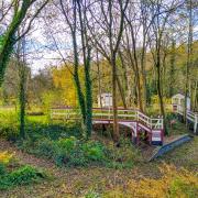
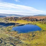
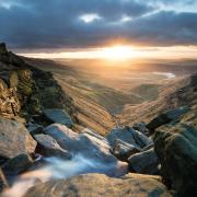
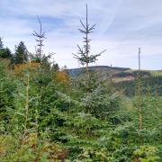
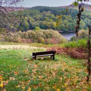
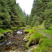
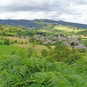
This is surely one of the most beautiful walks in the National Forest.
In comparison to the new plantations, Calke Abbey boasts centuries-old trees, including some of the oldest oaks in the country.
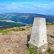
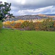
The walk takes in part of the National Forest Way and combines reservoir, estate ponds, parkland, forests and rolling farmland offering expansive views over the Trent Valley.
Set aside a whole day in order to explore Calke Abbey’s house and gardens, the estate village of Ticknall and the facilities at the Severn Trent Visitor Hub.

THE ROUTE
1. From the car park at the northern end of the reservoir head south west through woodland to join the tarmac road leading past the sailing club. Look out for ducks, grebes, geese, cormorants and terns on the water as you continue to Broadstone Lane.
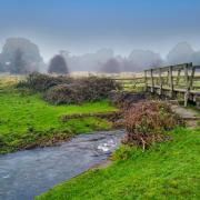
2. Turn right up the lane a short distance and follow the fingerpost signed ‘Calke Walks & Oaks and Oaklands Walk’, dropping down into a field. At the bottom of the valley, cross the footbridge over the brook to climb up the other side.
3. At the stone wall turn left along the perimeter of two fields and on to the edge of Calke Park, enjoying the now distant views to Staunton Harold Reservoir with Ratcliffe-on-Soar power station and East Midlands Airport control tower beyond.
4. Enter Calke Park through a wooden gate and turn left, then right soon after to drop down through woodland, part of Calke’s deer park boasting a herd of more than a hundred fallow and red deer.
Follow the edge of Mere Pond to Calke Abbey’s main car park. Here you can pause for refreshments, and time permitting, explore Calke Abbey.

The National Trust has left the ‘un-stately home’ in the state of neglect they bought it in from the cash-strapped Harpur family. Towards the back of the car park, turn right to continue alongside Thatch House Pond.
5. Between Thatch House Pond and Betty’s Pond turn left. Cross the gravel track to continue straight on. (A detour right will take you to the Old Man of Calke, an ancient oak that’s thought to be around 1,200 years old), then grassy parkland – a riot of colour in autumn.
At Lime Avenue cross over the road and take the northbound path along the Tramway Trail to Ticknall, a good spot for a pub lunch.
6. Turn right onto Main Street and take the path that crosses a small green (just before the bridge) to a gate at an information board. Go through and where the path splits, veer right to follow the edge of woodland, crossing a field before entering Vees Wood.
On reaching a forest track, turn right to skirt the northern end of Vees Wood, then farmland until you reach the A514.

Cross over the road and continue along the bridlepath edging Nut Wood and more farmland before emerging at St Brides. It is thought an Irish missionary founded a religious house here.
7. Continue straight over the lane at the entrance of the farm to follow the enclosed grassy path downhill, then ascend to Ridings Bank, emerging at a junction of roads –The Common, Cockshut Lane and the B587.
Head down Robinson’s Hill, signed for the reservoir, taking a right turn at Shaw House to follow a path between hedgerows. Leave the path at the Tower Windmill and drop down to the reservoir car park.
COMPASS POINTS

Start point: SK3777, 2447
Parking: Staunton Harold Visitor Hub (£3 for a day ticket)
Map: OS Explorer map 245, The National Forest
Terrain: Gentle ascents and descents through woodland, estate and farmland.
Distance: 5.25 miles
Refreshments: The Hub Café, Staunton Harold Reservoir, Calke Abbey and Ticknall pubs


