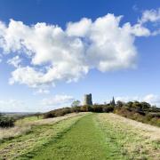
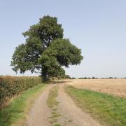
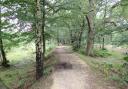
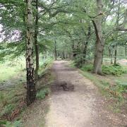
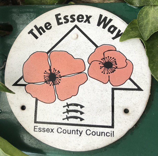
Crossing the heart of Essex through ancient woodland, rolling farmland, historic villages and beautiful coastline, the 81-mile long Essex Way covers some of our counties most beautiful locations
Click on the links at the start of each section for a full break down of the individual walk. Although The Essex way technically starts in Epping, you can of course do it backwards and that’s precisely what Essex Walks did.
Drag the Google Street View image around for an interactive look at what you would see out on the trail!
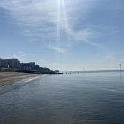
Section 1: Harwich to Wrabness (8 miles)
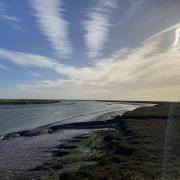
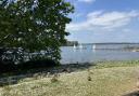
We begin on the coast where you can look over to Felixstowe Docks and the North Sea before heading along to Dovercourt Bay, a spot popular with photographers for its distinctive low lighthouses.
After following South Hall Creek for a little while the path heads inland towards Little Oakley, the A120 and Ramsey.
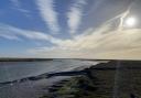
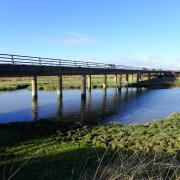
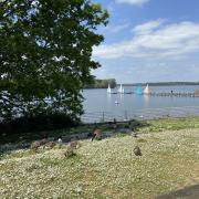
This won’t be your last chance to walk by the water on this stretch of the trail, however: as you near Wrabness you will walk adjacent to Copperas Bay on the Stour Estuary.

When you reach Wrabness make sure you take a little time to admire the House for Essex - designed by Grayson Perry - which is undoubtedly one of our county’s most unusual buildings.
Section 2: Wrabness to Manningtree (8 miles)
Leaving Wrabness you stick fairly close to the banks of the Stour for a while before ducking away from the water in the direction of Bradfield.
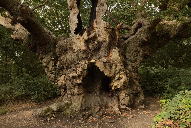
You’ll know it’ll soon be time to head towards Mistley and the Stour once again when you reach Old Knobbley, an ancient oak thought to be 800 years old that certainly lives up to its affectionate nickname.
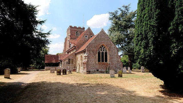
With the Stour to your right and The Walls to your left you’ll make your way through Mistley and Manningtree until you reach the conclusion of this section at St Mary’s Church in Lawford, a spot that just creeps inside the Dedham Vale AONB.

Section 3: Manningtree to Great Horkesley (12.5 miles)
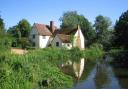
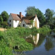
You stay on the lower edge of the Dedham Vale for a while before going into the heart of the AONB at Dedham where you’ll walk along its pretty High Street.
After Dedham you’ll walk a combination of country roads and designated pathways before reaching Boxted and the village’s church. Just beyond Boxted you’ll have the pleasure of walking Burnt Dick Hill.
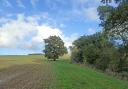
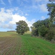
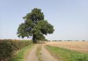
The countryside you’ll enjoy in this area is classic Constable Country: wonderfully green, seemingly untouched and with reminders of our agricultural past all around. As you leave the AONB and reach the outskirts of Colchester, things will get noticeably busier.
Section 4: Great Horkesley to Coggeshall (11.5 miles)
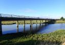
Head out of Horkesley Heath to West Bergholt where the trail will take you to Old St Mary’s Church and then, for the majority of this section, alongside the River Colne as it snakes through the countryside.
You then duck away from the path of the Colne near Swan Street before passing through Great Tey. Admire St Barnabas Church as you exit this quiet village via a lane next to The Chequers pub.

The route then follows a stream near the Roman River just above Little Tey and goes through more classically quiet Essex countryside until you reach civilization at Coggeshall’s St Peter ad Vincula Church.

Section 5: Coggeshall to White Notley (7.5 miles)
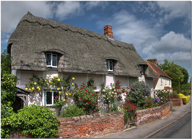
Unfortunately the route of the Essex Way doesn’t take you through the centre of Coggeshall so we would suggest taking some time to look around the town’s collection of historical properties and quaint cottages.
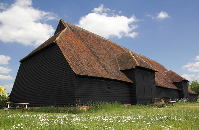
However, the trail does take you past Grange Barn, a 13th century National Trust site thought to be one of Europe’s oldest timber-framed buildings.
You then follow the road leading away from the barn until you divert off to follow the flow of the River Blackwater. It’s likely that you’ll barely see another soul during this part of the walk as you proceed through open countryside.
Follow more countryside, pass near Cressing and eventually you’ll arrive into White Notley.
Section 6: White Notley to Great Waltham (11 miles)
From White Notley you’ll head down towards Faulkbourne before taking Pink Lane across to Fairstead. From there you go off road and roughly follow the course of the River Ter until you get to Terling.
Shortly after leaving Terling you proceed through countryside again, crossing the River Ter near Fuller Street and The Square & Compasses pub. Weave your way to Chatham Green after crossing the A131.
Cross over countryside near the wonderfully-named Scurvy Hall Lane until you reach Great Waltham. The guildhall and church are two spots that should be visited even if you’re just passing through the village.
Section 7: Great Waltham to Peppers Green (8 miles)
Leaving Great Waltham you’ll walk alongside the Walkthambury Brook until you reach Pleshey and its collection of gorgeous cottages. Cross countryside and the odd brook all the way to Stagden Cross.
From Stagden Cross you head down towards Tye Green and Good Easter while running close to where the Point to Point horse races are held at High Easter.
Cross over the River Can just below Farmbridge End and you’ll soon reach this section’s end point at Peppers Green.

Section 8: Peppers Green to Chipping Ongar (8 miles)
Enjoy the wide open expanses as you make your way towards Willingale village. As you cross over Shellow Road be sure to have a little chuckle to yourself when you spot a sign for Shellow Bowells.
The Essex Way won’t take you into Fyfield itself, instead leading you below the village close to Fyfield Fishery. From here you’ll go into the Roding Valley and follow the course of the river for the majority of this section.

Compared to the serenity and isolation you’ll enjoy on the majority of The Essex Way, coming into Chipping Ongar’s relative hustle and bustle may be a slight shock to the system.
Section 9: Chipping Ongar to Epping (7.5 miles)
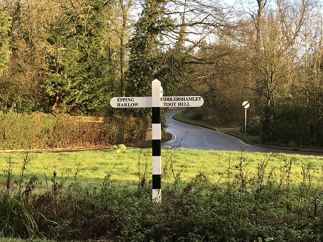
Your final stretch on this virtual tour of The Essex Way takes you away from Chipping Ongar and to the rear of St Andrews Church just off the Greensted Road. Join Toot Hill Road just above Toot Hill and head into the village from there.
Make a bee-line through the fields between North Weald Bassett and Colliers Hatch where you’ll soon find the countryside quiet disturbed by traffic on the M11. After crossing over the motorway you’ll find the outskirts of Epping at Coopersale Common.

Enjoy your last slices of countryside before you arrive into Epping and the conclusion - or starting point if you’re doing it the other way round - of The Essex Way. Epping tube station is the last stop on the Central Line and the trail’s final port of call.
______________