This walk from the town of Bures on the Essex and Suffolk border leads you through the Essex countryside to the little villages of Alphamstone and Lamarsh | Words and photos: Laurie Page Public Rights of Way Team at Essex County Council

Ordnance Survey maps are available from all good booksellers and outdoor stores or visit the online shop
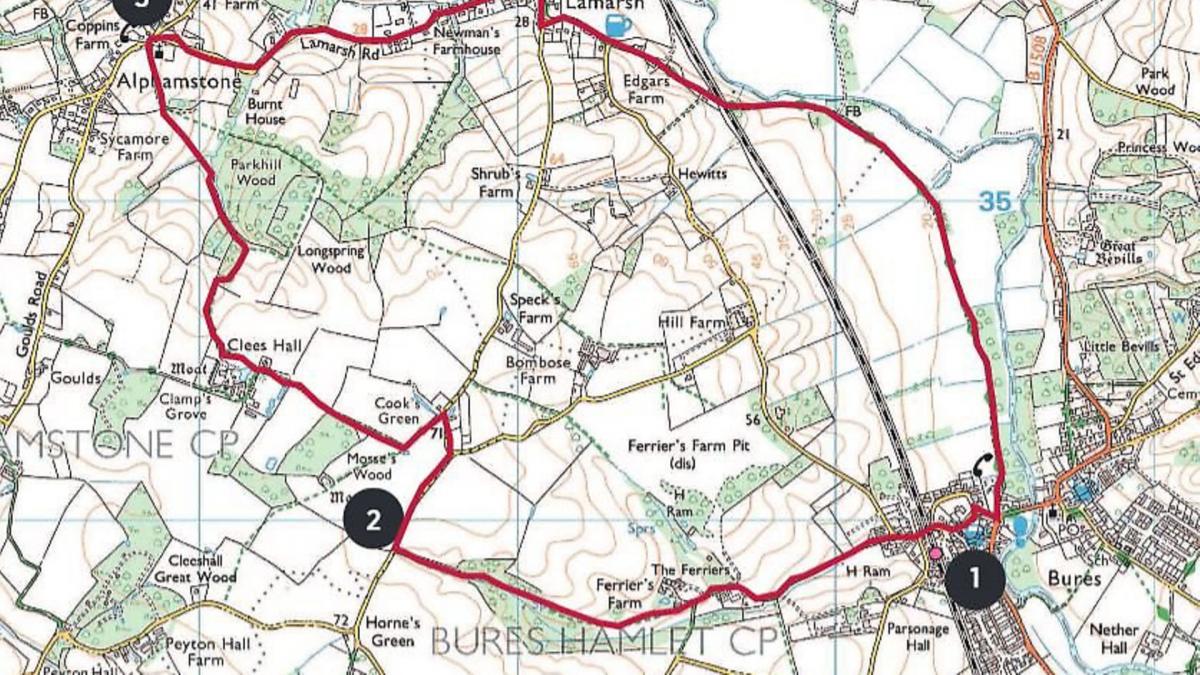
The Walk
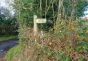
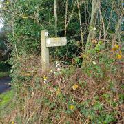
1) Turn left out of the station car park and walk under the railway bridge along Station Hall (road). Pass Malting Close and just as the road bends sharp right, take the bridleway on the left which is a wide track alongside the stream.
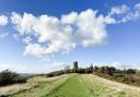
Follow this for some distance until you get to a path junction by the little triangular patch of grass. Here you leave the bridleway (blue arrow) and follow the footpath (yellow arrow) which goes down the bank (not along the track) and along the field edge.

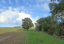
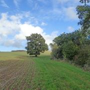
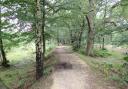
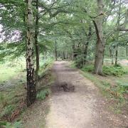
At the little copse of trees, go straight on across the field and at the other side, go into an area of trees and scrubland. Bear right at the fork and continue under a fallen tree along the meandering path. Then alongside a little brook on a straight path until you reach the lane.
2) Turn right along the lane. At the road junction go left and at the next T-junction go left again along a concrete track. The path swings right into the Clees Hall estate. Continue towards the hall.
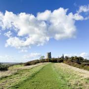
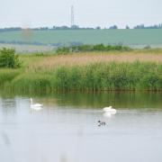
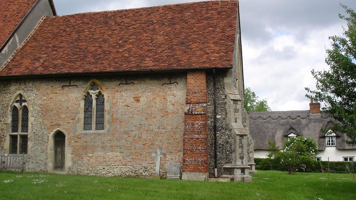
When you reach the red brick cottages opposite the lake, go straight on (turning off the track which bends left) and proceed alongside a large field. Alphamstone Church comes into view ahead. At the trees turn right uphill then left soon after, along by trees to your left.
Go down to the field corner where you turn left into the wood. Go through a gate and bear right out into a field. Proceed into the next field going uphill, taking you to St Barnabas Church by the road (which is usually open during daylight hours).
3) Turn right along the lane (Lamarsh Road) passing a thatched cottage, then going downhill. Go all the way to the end of the lane, passing pretty cottages. At the T-junction, turn right towards Bures, but watch out for traffic as there is no pavement. The road bends left and passes the Lamarsh Lion, now a community pub.
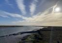
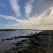
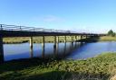
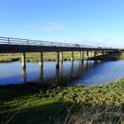
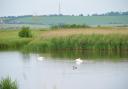
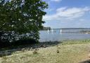
At the next bend take the footpath on the left (private road) along a wide track. Pass the thatched cottage of Edgars Farm. Cross the railway line via stiles on either side. Continue along by the River Stour. Get over a stile and pass through a little copse, then straight on along a wide track.
Proceed along this track for nearly a mile. At the farm you are sent left alongside a fence and soon emerge at the T-junction in Bures opposite The Eight Bells pub. Turn right for the station car park.
Distance: 5.1 miles (8.2km)
Starting point: The station car park at Bures Railway Station.
How to Get There: Bures lies on the B1508 between Sudbury and Colchester. At the road junction by The Eight Bells pub, turn off the B1058 into Station Road. The station car park is a little further along on the left.
Map: OS Explorer 196 Sudbury, Hadleigh & Dedham Vale
Refreshment: Bures has a few pubs to choose from including The Swan and The Three Horse Shoes, plus The Eight Bells at the end of the walk. The Lamarsh Lion is also en route.
Tourist Information Centre: The Library, Market Hill, Sudbury CO10 2EN. Call 01787 881320
Places of interest nearby: Just to the north is the town of Sudbury, where Thomas Gainsborough, the famous artist, was born. There is an interesting museum in the place where he lived near the town centre, which has plans to extend to an art exhibition centre with the help of lottery funding. Long Melford, a little further north, has two impressive stately homes, Melford Hall run by the National Trust and Kentwell Hall.
_____________