Enjoy a low-level exploration of Yorkshire’s most challenging hill country.

This walk was published in November2016, so the details of the route may no longer be accurate, we do advise these articles should only be used as a guideline for any potential route you take and you should double check an up to date map before you set off.
The Three Peaks lie at the wild heart of the Yorkshire Dales National Park and enclose some of its most lonely countryside. The round of all three - Ingleborough, Whernside and Penyghent - is a marathon day out, covering 24miles/37km and climbing 4750ft/1450m in the process. And the challenge is to do the lot in less than 12 hours.
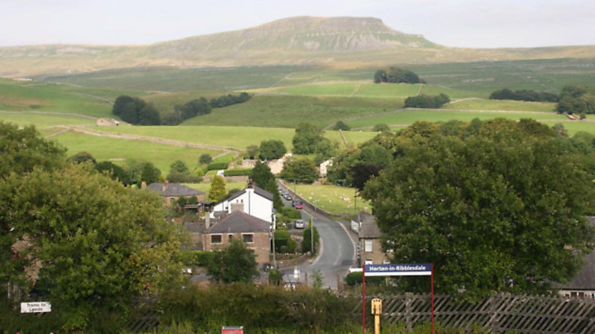
Fortunately this walk is a much gentler affair, enjoying wonderful views of all Three Peaks without actually climbing any of them. It sets off from Horton-in-Ribblesdale, the traditional start and finish points for most attempts on the full trio, but sticks to the flanks of the dale, heading off across the lower slopes of Penyghent before crossing the Ribble to return via the lower pastures of Ingleborough. Yet there is nothing 'second best' about this walk. It may not be as long or demanding as the more famous challenge but, as you'll probably notice if you encounter any Three Peakers along the way, it is considerably more enjoyable.

DIRECTIONS
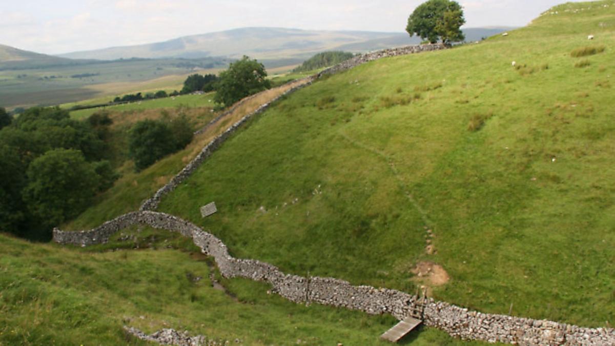
From the National Park car park in the centre of the village cross the front of the Crown Hotel and follow Pennine Way signs onto a rough green lane, which is followed steadily uphill for about a mile until it reaches Sell Gill, where the waters of the beck disappear underground to form a cave system. Occasionally parties of potholers are encountered as they gear up for the descent or emerge muddied from the darkness. Go through a gate and almost immediately take a narrow green path breaking off leftwards to Birkwith. The path quickly crosses the wall on the left before turning right to shadow the wall on a clear green track heading up the valley on a broad shelf, crossing a series of stiles and pastures with excellent views across to the slopes of Ingleborough and Whernside.
|
||||||||

Where a path forks left ignore it and carry on in the same line. The path drops into a deep ghyll with a small wooden footbridge before climbing the opposite bank. Climb slightly to go round the top of a wood directly ahead to reach a farm track. Turn left down this to a T-junction and again turn left towards High Birkwith Farm. Directly opposite the farm house take a stile signed to Selside which goes diagonally left to pass through a shelter belt and then down a field to pass initially below Low Birkwith Farm.
Ignore a footbridge heading rightwards signed to Nether Lodge and instead curl round the buildings still heading for Selside. The path crosses fields before reaching a pair of wooden footbridges on the right. The first crosses a small stream while the second carries you across the broader Ribble. From the other side go through a gate and then curl leftwards round the foot of a wooded hillock to a gate which gives onto a green lane. Follow this into the attractive hamlet of Selside, which still boasts a rare Victorian post box but, sadly, no pub or tea shop.
Note: If you plan a diversion to visit the cave of Alum Pot you should stop off at Selside Farm to pay a pound for the privilege, although these days the once quite spectacular view down into the cavern and its natural rock bridge is so tree-shrouded that it is scarcely worth even the trivial entrance fee let alone the short walk up to it.
From Selside, turn right up the valley road for a hundred yards or so and then take the obvious green lane on the left. This leads to a left hand bend where visitors to Alum Pot go straight ahead. When the lane become unenclosed follow the track past two farms. The second one is Borrins and just beyond it the path forks. Go right through a gate to enter the Ingleborough National Nature Reserve and follow the bridleway as it climbs gently for almost a mile until it comes to the walkers' crossroads of Sulber Nick where the main Three Peaks tracks comes down from Ingleborough.
Turn left down this clear path heading into the valley towards Horton with the vast 'crouching lion' profile of Penyghent dominating the view ahead. You may also come across some of the hardy cattle which have been reintroduced to the area. The track now leads unerringly down to Horton, arriving at the railway station where it is necessary to cross the track with care before re-entering the village.
Compass Points
Start/finish: Horton-in-Ribblesdale
Distance: 9.5miles/15km
Height gain: 1300ft/400m
Time: 4-5hours
Terrain: Green lanes and fell paths
Parking: Pay and display, some roadside parking for early birds
Refreshments: Café and pubs in Horton
Map: OS OL 2 Yorkshire Dales (Southern and Western Area)