

Clare welcomes walkers and there are many ways to explore its history and beauty.
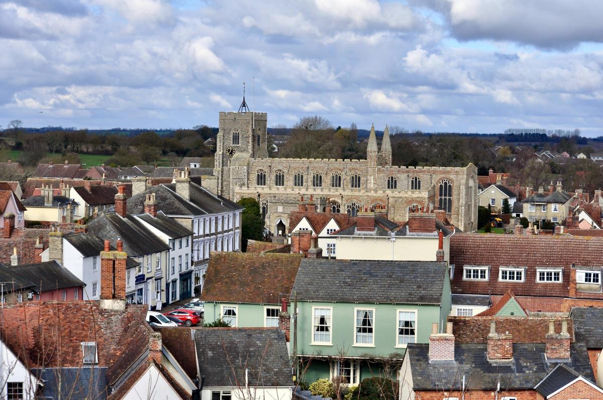
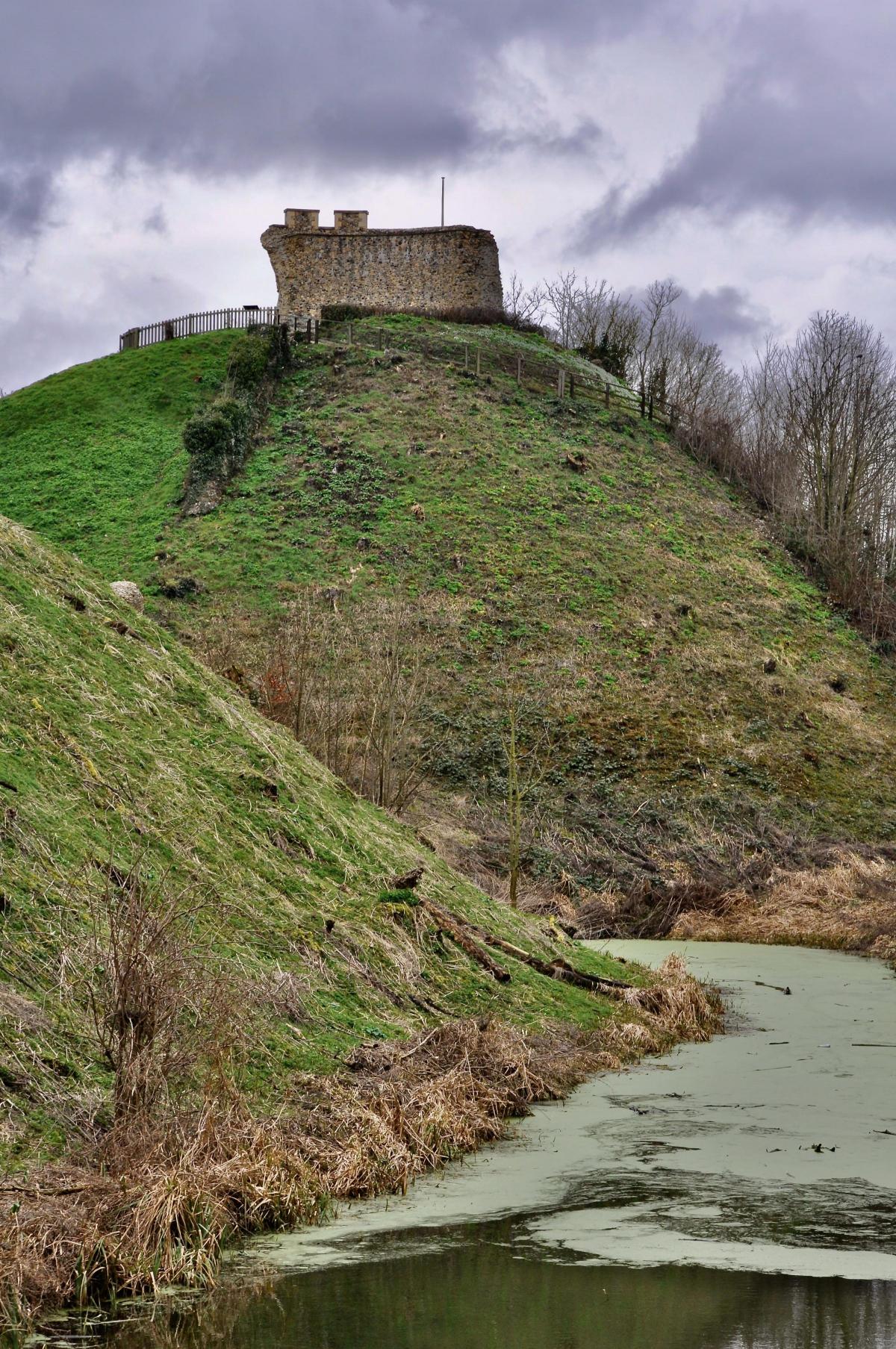
Suffolk’s smallest town has a big heart. Stand on the motte of the old castle ruin and look out over the splendid church of St Peter and St Paul rising from the jumble of medieval rooftops and it’s impossible not to like this place… and be curious about it.
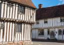
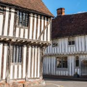
How come such a little town has at least one castle, an Augustinian priory, a church that’s like a mini-cathedral, and streets full of some pretty impressive historic buildings (more than 130 English Heritage listed, to be precise)? The answer is wool.
Clare is one of Suffolk’s ‘wool towns’, historic market towns and villages such as Hadleigh, Lavenham, Long Melford, Cavendish, Bildeston and Kersey, that grew affluent and important in medieval times from the expanding wool and weaving trade. It’s hard to imagine now, but in the 14th and 15th centuries, wool was massive business for Britain and became England’s greatest export to the continent. Suffolk and north Essex were at the heart of it. There must have been sheep everywhere.
Weavers from Flanders, fleeing the Hundred Years War, settled in Suffolk, and pretty soon raw wool exports – which were taxed by Edward III to fund the war - were replaced by woven cloth with a much higher value. Those in the trade became very wealthy. They built substantial houses – identifiable by the large amounts of expensive timber used in their construction – and ensured their place in heaven by financing wonderful, elegant churches.
To cap it all, in the 1570s to 1590s it became the law that all Englishmen except nobles had to wear, a woollen cap to church on Sundays, part of the government’s plan to support the wool industry. Fancy…
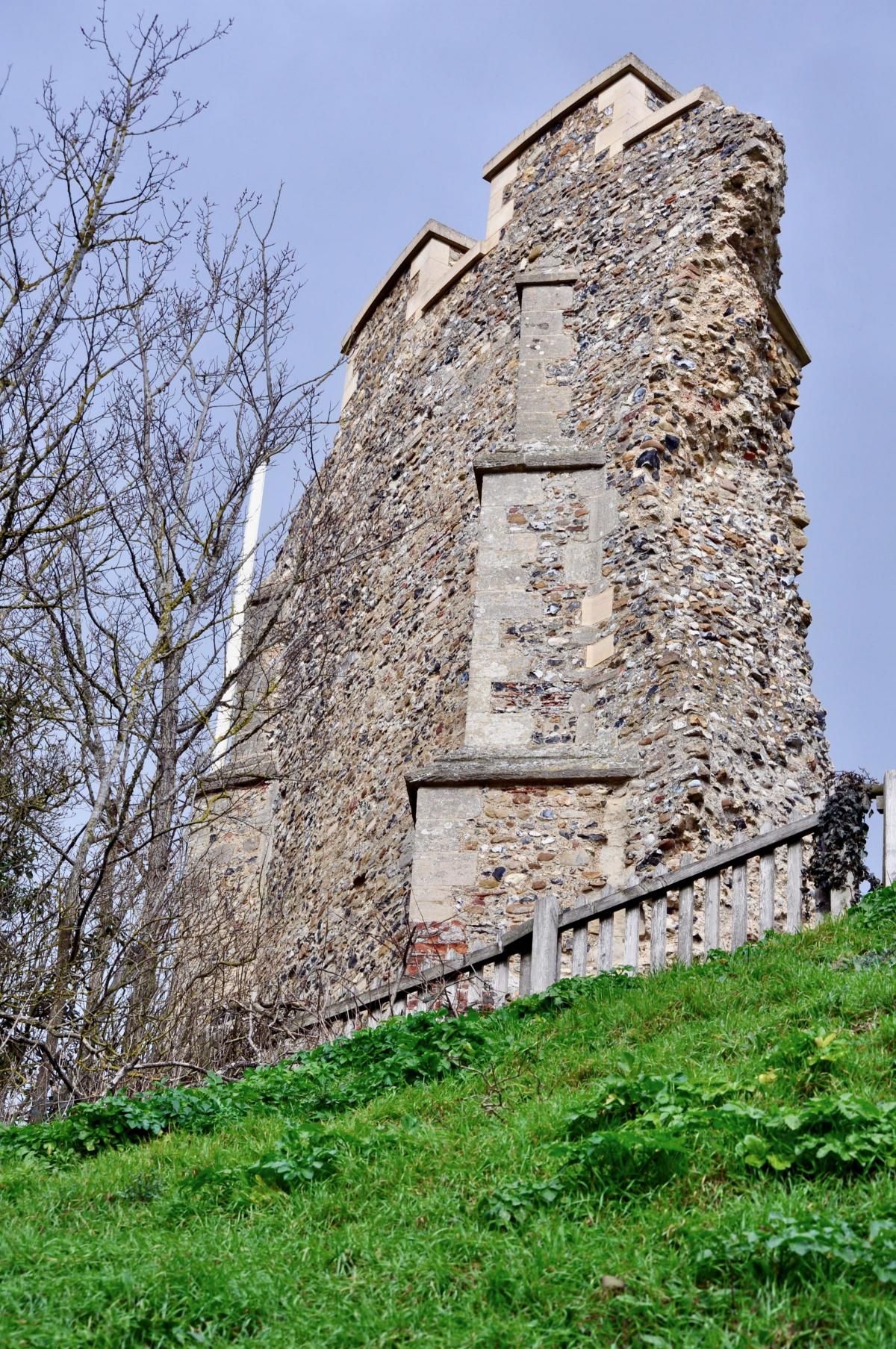
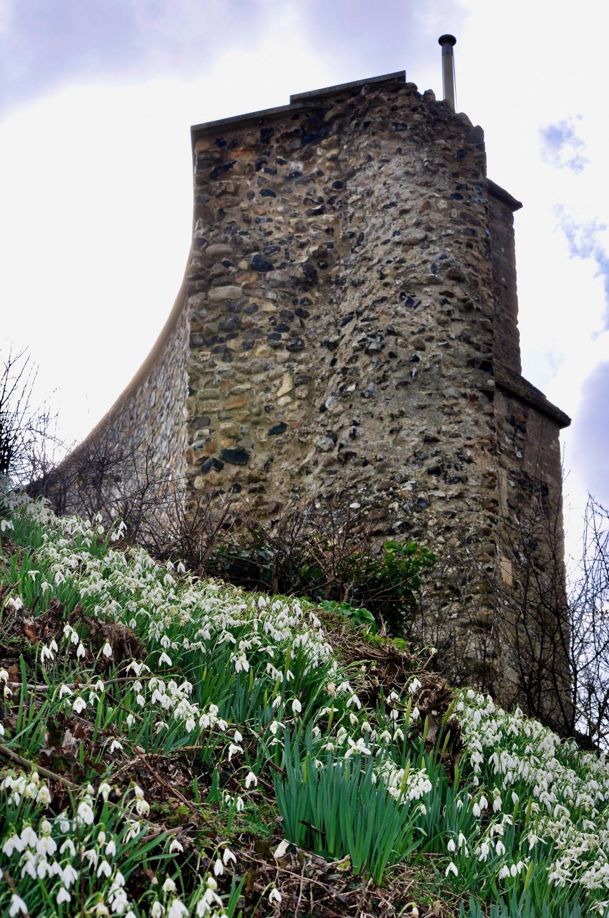
Clare was right at the centre of all this. The town has seen more than 2,000 years of history, evidenced in Iron Age earthworks and the castle built soon after 1066. All that remains of the fortress is the 60 feet high Norman motte, the ruined flint keep atop it, part of a wall and moat, and the inner and outer baileys which now form Clare Castle Country Park. Yet during the 14th century it was home to one of the wealthiest women in England, the widowed Elizabeth de Clare, who lived a lavish lifestyle within its four strong towers. The story of Clare is well told at the Ancient House Museum, housed in a Grade I listed building, believed to date from the 14th century, but that’s for another time.
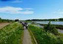
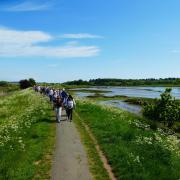
Clare was one of the first towns to gain Walkers are Welcome status and has an excellent network of circular walks put together by Clare Walkers, an independent group which promotes walking in and around the town. They all start in the car park at Clare Castle Country Park. This one is an entry level which takes you around the fringes of the town and out into open countryside.
THE WALK
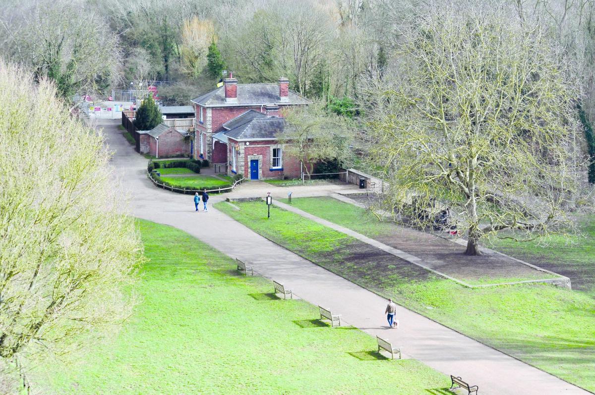
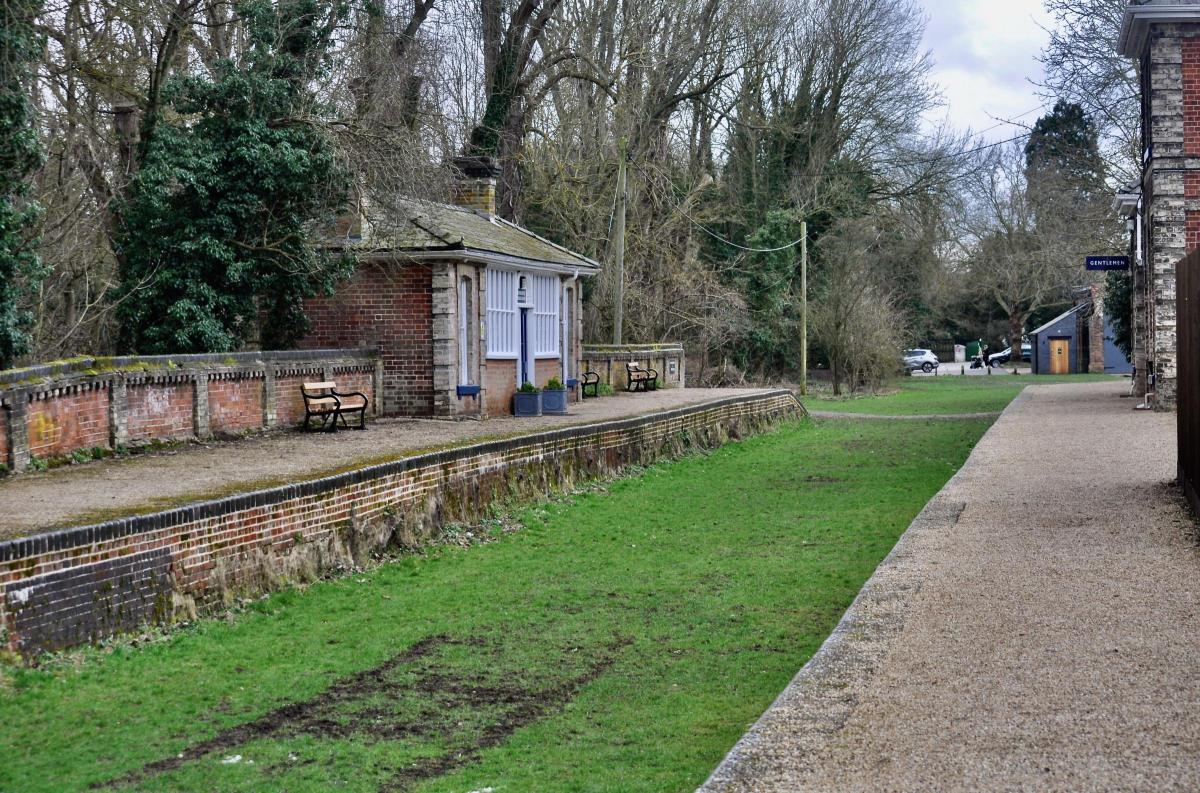
1. Start at the car park (Ringo app - £3.40 for 2hours+). Head east past the Clare Park Centre towards the old railway station. This is what remains of the railway that once served Clare before the Beeching axe swung on March 6, 1967. What you see now are the stationmaster’s house with its ticket office and waiting room, a smaller waiting room across the tracks, and the last known 1865 goods shed.
Turn left, go over the old moat – there’s a good view of the castle ruin to your left – then at the end of the path, turn right onto a smaller waymarked path. Follow this to the main road where there’s a little cemetery on your left.

2. Turn right, cross the road, then turn left along Harp Lane onto the Stour Valley Path. Go past the playing fields, then buildings (left) and follow the path through woods with fisheries on your left. Are these old ponds or newly dug, I found myself wondering? Are they part of the ancient Clare Castle estate? Emerging into a field, follow the path to the corner then turn left. Pass some barns (left), then the path turns left before two more black barns, passing old Hermitage Farm and threading through tall willows.
3. Reaching the main road, turn left and walk 200 metres.
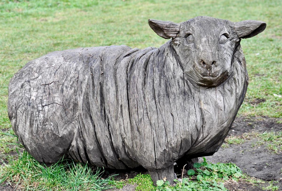
4. Cross over and head up Sheepgate Lane, a clue to the town’s past if ever I came across one. The path heads uphill, passing newish houses on the right with Clare Common on the left behind a high hedge. Once you reach the peak you can look across the common towards the town. Maybe this was where sheep were grazed before passing through ‘Sheepgate’ to be traded on market days in the town? I definitely need to visit that museum.

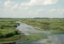
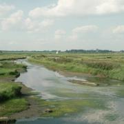
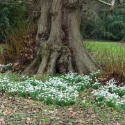
5. Past the allotments, take the little path right of the old waterworks. After 100 or so metres it opens into fields. You can turn left here and take a shorter route back to town or head straight across the field towards some trees. Nip through here into the next field and, with the hedge on your right, go through two fields. Not for the first time, it feels like I’m walking on very ancient paths, following in the footsteps of centuries of travellers. The open countryside is lovely – this is, after all, part of the beautiful Stour Valley – yet close to town and popular with local dog walkers.
6. At the end of the second field turn left at the trees and follow the path towards Bench Barn Farm. At the farm, turn left after the first barn, following the waymarked trail (7), then head gradually uphill, bending round to the right and climbing.
8. At the end of the field turn right, then after about 100 metres go through a gap in the hedge on the left and follow the path down to the main road.
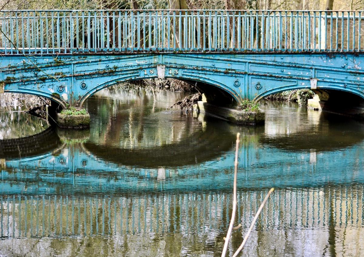
9. Turn left, then cross over and head up Ashen Road, reaching a small road bridge over the Stour river, a nice place to pause. William Cubitt’s three span cast iron bridge was the second bridge he designed. It’s pretty, nicely proportioned and probably built at a time when this route into town was busier and more important than it is today.
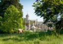
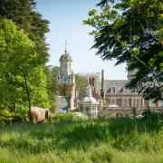
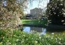
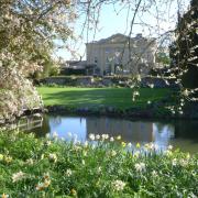
10. Turn left onto the path beside the river for a very pleasant stroll back to the country park, passing where you can gaze into the gorgeous grounds of Clare Priory. One of the oldest religious houses in England, the priory was established in 1248 as the first house of the Augustinian friars in England. It became many things to many people after it was suppressed in 1538, but the Augustinians bought it in 1953 and today it’s a parish and retreat for Augustinian friars and lay people.
Back at the car park, summon your energy to take the winding path to the top of the motte for a view of the lovely town of Clare. You won’t regret it.

COMPASS POINTS
Distance: 4.5miles/7.2km
Time: approximately 2 hours
Start: Clare Castle Country Park, Malting Lane, Clare, CO10 8NW
Access: Footpaths, field edges, small ditch crossing; muddy in wet weather
Map: OS Explorer 210 Newmarket & Haverhill
Ts & Ps: Clare Castle Country Park; Clare town centre