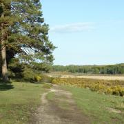
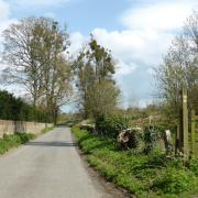
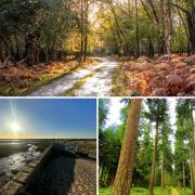
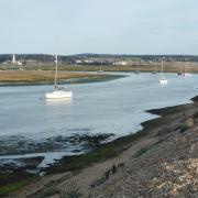
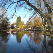
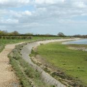
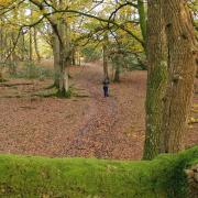
Steve Davison heads for the rolling countryside of the North Wessex Downs for an easy walk at Hurstbourne Tarrant
The picturesque village of Hurstbourne Tarrant lies within the southern boundary of the North Wessex Downs, an area of outstanding natural beauty (AONB) that encompasses some of the finest chalk countryside in Britain. The village dates back to at least Saxon times when it was known as ‘Hissaburnam’; the ‘Tarrant’ part originates from the early 13th century, when the village was given to the Cistercian nunnery of Tarrant Kaines. The church, St Peter’s, dates from the 12th century and the south doorway is a fine example of Norman workmanship.
Running between the village and the neighbouring picturesque hamlet of Ibthorpe is the Bourne Rivulet; often just called ‘The Bourne’ by locals. The stream, a tributary of the River Test, is termed a winterbourne and usually only flows after sustained heavy winter rainfall.
Over the centuries a number of famous people have either visited or lived in the area including the American-born artist and writer Anna Lea Merritt, famed for her nude painting Love Locked Out (1890), who lived in Hurstbourne Tarrant for 30 years. In 1902 she wrote and illustrated a book, A Hamlet in Old Hampshire, providing a portrait of Hurstbourne Tarrant.
The noted 20th-century actor Sir Donald Wolfitt is buried in the local churchyard, and is commemorated with a plaque on the side of the George and Dragon pub. And William Cobbett, writer, agriculturist and political reformer, was a regular visitor to Rookery Farm situated at the base of The Hill in Hurstbourne Tarrant (now the A343). He is best known for his book Rural Rides, based on a number of journey’s he undertook in the 1820s travelling on horseback through the countryside of Southern England.
However, the most renowned visitor was the novelist, Jane Austen, who came to visit Martha Lloyd at Ibthorpe House. On one visit in November 1800, she made reference to the poor winter weather as it was ‘too dirty even for such desperate walkers as Martha and I to get out of doors’; hopefully you’ll choose a dry day to follow this lovely walk.
Information:
• Distance: 4.25 miles (6.8km)
• Time: 2 hours without stops
• Terrain: One main climb, tracks and paths which can be muddy, stiles and gates, sections of road
• Start/Finish: Car park at the recreation ground in Hurstbourne Tarrant off the B3048, 300m south-east of the junction with the A343; grid ref SU385528
• Map: OS Explorer 131
• Refreshments: The George and Dragon (01264 736277) at Hurstbourne Tarrant
The walk
1 (SU385528) – From the recreation ground car park turn left along the lane back to the main road (B3048) with St Peter’s Church opposite. Turn left along Church Street to a staggered crossroads with the A343 beside the George and Dragon (left). Turn right along the A343 for 100m and then, with care, turn left across the road (a short way further along the road is the village shop). Follow the narrow waymarked Test Way between the houses; the 44-mile long Test Way meanders southwards through Hampshire from its starting point high up in the North Hampshire Downs to end at Southampton Water. Go through the kissing gate and keep ahead along the enclosed path. Follow the fenced path through two gates passing the beech trees of John’s Copse. Go through a third gate and turn left along the track.
2 (SU378537) – Go through a gate and turn right along Horseshoe Lane through the hamlet of Ibthorpe passing some lovely thatched cottages. Keep to the lane as it swings left and at the junction go left to reach a small green with a tree and seat; just to the right is the early Georgian Ibthorpe House. Turn left along the road heading back towards Hurstbourne Tarrant for 500m with the river on the right (take care as there is no pavement for part of the way). Continue past the red-brick Primitive Methodist Chapel and, just before the first cottage on the left, turn right along a track – Dolomans Lane – with the thatched red-brick and timber Boundary Cottage on the left.
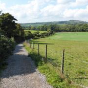
3 (SU380535) – The hedge and tree-lined track starts to climb and soon a path joins from the left, keep straight on up the hill and cross a stile to reach a path junction. Take the left fork across the stile and follow the left-hand field boundary and then continue up through the middle of the field. Cross a stile and continue straight on to reach a road. Turn left for 600m to a junction with the A343 (no pavement).
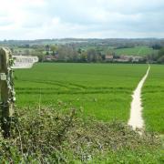
4 (SU373524) – Cross straight over and follow the signed footpath ahead with trees to the right and an open field to the left; soon the trees are on both sides. Keep straight on at the path junction (marker post) following the fairly level path eastwards through the trees of Doles Copse to reach another path junction. Turn sharp left down through the trees now following the Test Way again. Go left along the field edge and then right following the grassy strip down between the fields with views ahead across the valley. At the bottom edge of the field turn left following the fence on the right to reach a barn and turn right along the surfaced track back to the car park.


