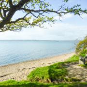
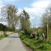
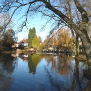
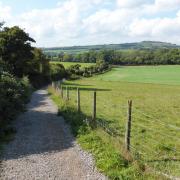
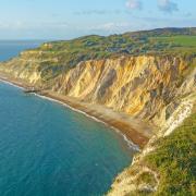
Enjoy a scenic ferry crossing across the Solent, then a walk beside the Western Yar estuary from one side of the Isle of Wight to the other
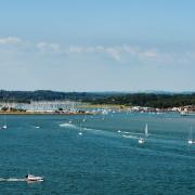
Wightlink’s ferry crossing from Lymington to Yarmouth at the western end of the Isle of Wight takes just 40 minutes, making this walk – which starts from Yarmouth itself - quite feasible as a day return from the mainland. And with train services direct to Lymington Pier station, adjacent to the terminal, you could leave the car behind altogether for this trip. The Lymington – Yarmouth route is the most scenic of the Isle of Wight ferry crossings. At Yarmouth you can step straight off the ferry and start walking, but do allow time for a wander round the little town either before or after the walk. Yarmouth Castle, which adjoins the harbour, was the last addition to Henry VIII’s coastal defences, completed after his death in 1547. The nearby Grade 2 listed pier, the longest wooden pier in the UK, was opened in 1876.
This coast-to-coast route links the north and south sides of the island, taking you round the attractive Western Yar estuary, and following one of the Island’s named and waymarked trails, the Freshwater Way. The Yar is one of two rivers of that name on the Isle of Wight, referred to as the Western Yar to distinguish it from the other. It rises near the beach at Freshwater Bay on the south coast and flows northwards to join the Solent at Yarmouth. Millions of years ago when Britain was still part of the European land mass, the Yar flowed into what was then the Solent River. Its source was much further south, as evidenced by the present estuary, whose width is wholly disproportionate to its length. This is what remains of a much larger river.
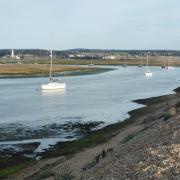
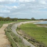
The Western Yar Estuary has a wealth of wildlife, with its tidal waters, salt marsh and mudflats being home to a wide range of plants and animals. Resident estuary birds include lapwing, oystercatcher, little egret and curlew, while in the winter months visitors such as brent geese and wigeon can be seen. The Solent and its estuaries are very important for over-wintering birds, which makes it an ideal time for this walk, perhaps during half term this month. For those who would prefer a shorter walk, it is very easy to reduce the length by omitting the lower loop from waypoint 3.
Information
• Start/finish: Ferry terminal, Yarmouth (SZ354898), nearby car park adjoining riverside walk (SZ354895). Car parking at Lymington ferry terminal
• Map: OS Explorer OL29
• Distance: 6? miles (11km) or shorter option, omitting lower loop: 4¼ miles (6.7km)
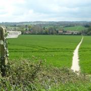
• Terrain: Easy walk, mostly on the level, with just a few gentle gradients. Wide track along the east side of the Yar, thereafter country road, downland and field paths
• Time: 3 hours (or 1½ - 2 hours for shorter option)
• Refreshments: Choice of pubs and restaurants in Yarmouth, eg 16th century Bugle Coaching Inn; Off the Rails café on the site of the old Yarmouth to Newport railway station, near waypoint 2 on walk; Red Lion, Freshwater; Dimbola Tea Room, Freshwater Bay (01983 756814)
• Public transport: Wightlink car ferries between Lymington & Yarmouth, daily/hourly services. Foot passenger fares with discounts for senior citizens and students, half price for children, plus family fares. Train services from Brockenhurst (on South West Trains London main line) to Lymington Pier station, adjacent to terminal
• Further information: The Yarmouth Tourist Information Point (where leaflets and brochures are available) is located in the Yarmouth Harbour office, along from the bus station and ferry terminal
The walk
1 (SZ354898) From the ferry terminal walk round the harbour, cross the main road and just before the road bridge turn left along a surfaced path beside the River Yar. The large brick building you pass on the left was formerly a tide mill.
2 (SZ356891) Just beyond it you reach a junction, where you bear right along the bridleway-cum-cycleway (signed for The Causeway and Freshwater), a wide track that follows the route of the old railway line. Before doing so, it’s worth a brief detour to the left to the former Yarmouth Station, now a café/restaurant. Return to the junction and follow the track south. A variety of wading birds and waterfowl can be seen in the estuary, especially in winter.
3 (SZ348871) At the road, if you want to shorten the walk by omitting the lower loop, turn right up to the church rejoining the main route at waypoint 6. For the full walk, turn left and follow the road to the B3399. Turn briefly left, then cross the road and continue along Manor Road, very soon bearing left through a gate to follow the bridleway (Freshwater Way) that leads to Afton Down. Bear right along a track to the golf club house, continue along the access road, turn left to the A3055 and right down to Freshwater Bay.
4 (SZ345857) Take the second footpath on the right (Coastguard Lane) signed Freshwater Way. At an unsigned fork in the path bear right and continue to a minor road, passing an Afton Marsh Nature Reserve sign. Turn right and just before the bridge go left along a footpath signed Afton Marsh & Afton Road. Cross a footbridge and take the left hand path to head north to the A3055.
5 (SZ344868) Turn briefly left, then right on the opposite side of the road along a bridleway which soon turns right taking you back to waypoint 3. Now turn left along the road up to the church.
6 (SZ346872) Turn right along the Freshwater Way footpath which leads north to the A3054, where you turn right back to Yarmouth.
More…
• The best walks in Hampshire - With the New Forest, South Downs and a picturesque coastline, Hampshire is an amazing place for a walk. We round up a few of our favourites


