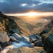
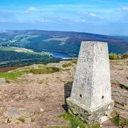
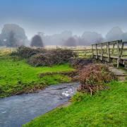
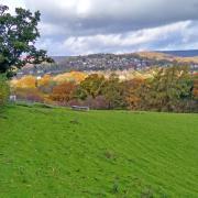
Sally Mosley explores the dramatic Hope Valley - an adventure playground for walkers that offers Peaks to conquer in every direction with the reward of far reaching views
This walk was published in March 2014, so the details of the route may no longer be accurate, we do advise these articles should only be used as a guideline for any potential route you take and you should double check an up to date map before you set off.

Details
Distance: 7 miles
Parking: Pay and display car park, Castleton Road, Hope S33 6SB (SK171835)
Terrain: There are 11 stiles, 10 gates and several sets of steps as well as steep inclines. Some paths are prone to slippery mud

Refreshments: There are various pubs and tearooms in Hope. Scarlett Rose Coffee Shop, High Peak Garden Centre
Toilets: Public toilets at Hope car park
Map: OS Explorer OL1
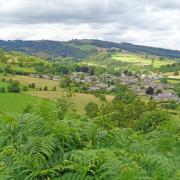
Walk highlight: Fabulous panoramic views

Description
This is a serious hike on the slopes of Win Hill. The paths are well walked and clearly signposted with two 'alternative routes' to avoid narrow lanes. Sections of the walk follow quiet roads without roadside pavements.
These Dark Peak hills are etched with holloways that have been washed by rainwater running down to the river and eroded by centuries of wear from feet, hooves and cartwheels. The walk takes you past fascinating properties ranging from modest cottages to majestic mansions. You will also pass through the remains of a Roman fort and follow the route taken long ago by legionnaires.
Route
1 From the car park walk to the Old Hall Hotel, one time home to the Balguy family. In 1715 John Balguy organised a weekly market and four annual fairs here, one being a hiring fair for adults and children seeking work. Head down Edale Road and notice the hairdressing salon of sheet metal construction. This is a rare surviving building from Birchinlee (Tin Town), a temporary village established in the early 1900s for labourers and navvies working on the construction of Derwent and Howden reservoirs. It was moved here when work was completed and the village dismantled.
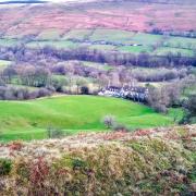
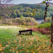
2 Continue past the school and turn right down Bowden Lane following the signs for Hope Cemetery. This will bring you onto a track leading through Fairfield Farm. You will pass a couple of benches carefully positioned to take advantage of the wonderful view towards Mam Tor, the shivering mountain.
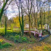
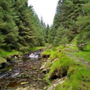
3 On reaching Aston Lane turn left and walk up to the hamlet of houses and cottages, many nestling in sheltered hollows on the hillside. An alternative footpath in front of Kiln Croft can be taken should you wish to avoid the narrow lane. Deep, dark and dripping with ferns, this ancient route is flanked by wizened old trees whose roots twist around and cling to exposed rocks.
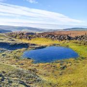
4 Walk past Aston Hall, an Elizabethan manor house dating from 1578, and notice a small stone figure or putto on the front gable. Turn left at the fingerpost for Win Hill and follow the footpath passing two troughs which in spring often contain frogs and toads.
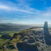
5 Head directly uphill through fields and climb over a high wall stile onto moorland where the path continues through a bank of gorse. On a clear day the views from this elevated path are stunning and encompass a succession of dramatic Edges on the horizon and an aerial view of the Derwent meandering past Bamford Mill below. Your first glimpse of Ladybower Reservoir is breathtaking!
6 After the path reaches a gap in the wall, follow the signs for Thornhill, at one point dropping down a grassy bank to a pathway edged by hawthorn bushes and shrubs. This can be extremely muddy and slippery in winter months or after heavy rain.
7 Arriving at the first cottages in Thornhill, walk down Town Head Lane to a junction and then bear left. Look for an early Victorian letterbox and notice the pretty chapel nearby. At the phone box to the side of Nicholas Hall with its scary stone demon keeping guard from on top of the gatepost, turn right and walk for about 50 yards to a footpath on the left which runs beside yet another deep old holloway.
8 You will emerge onto a level path which was the track bed of a former railway line used to transport stone from near Grindleford to construct the dam walls of Howden and Derwent. Follow the signs leading in front of the Quaker Community House and then cross a field on a footpath leading beneath the railway line to the car park of High Peak Garden Centre where the Scarlett Rose coffee shop is open most days.
9 Carefully cross the main road and walk up the lane into Shatton, passing over the River Noe and through a leafy suburb of executive houses before reaching the oldest part of the village. Use the footway to avoid slippery stones in the ford and walk up Townfield Lane signposted 'Unsuitable for Motors'. There is another alternative footpath for a section of the road should you prefer to avoid vehicles which regularly use this route for access.
10 Away to your left is Shatton Hall, once home to the Eyre family. At the time that Charlotte Brontë stayed in nearby Hathersage, it is believed that a real life Jane Eyre was living here. Perhaps they made acquaintance and this provided the inspiration for Charlotte's book? The rest is literary history!
11 Continue straight ahead ignoring a farm drive leading off to the left and follow the lane which eventually becomes a gated track heading down to Brough on the route of a former Roman road.
12 Carefully cross the main road in Brough and follow the footpath sign into a field where a large raised area is all that remains of the Roman fort of Navio, thought to have been the stronghold of the first Cohort of Aquitanians under General Agricola who governed Britain from AD 78-85.
13 Continue on the footpath beyond through fields and stiles. Over to your left are massive pits where shale is extracted, which together with locally quarried limestone, are the fundamental ingredients for cement made at the nearby works. Away to your right are the twin peaks of Lose Hill and Win Hill, named after a bloody battle between the armies of King Edwin of Northumbria and King Penda of Mercia in AD 626.
14 Arriving at a lane, walk down to Pindale Road and turn right to head up into Hope, passing St Peter's Church with its wonderful squat broach spire. The graveyard contains the remains of an intricately carved 9th century cross and an 18th century guide post.


