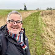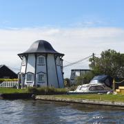

The walk starts at the National Trust car park in Camp Lane. From the back of the car park there is a good view of the coast if you go past the flagpole to the seats.

1. From the car park turn right, following the track to the end, then take the path ahead through the barrier. This path winds its way down beside the woods to reach Calves Well Lane. Turn left here and then right to follow the track to the road beside Beeston Hall School. Cross the road. Taking the road by the bus stop to the railway crossing, follow the track around the green to visit the church. Then return to the crossing to take the footpath to the right which takes you between the railway and the holiday park to another crossing, but you turn right following the path to the coastal path.
2. Turn right to follow the path through the holiday park; follow this until you come to the car park at West Runton. There are refreshment and toilet facilities of to the left towards the beach. From the car park turn right to follow the road, taking care as it is very narrow. You will come to a footpath off to your left - follow this to the main road, cross over and follow passing the shops to the junction. Turn left follow the road, crossing the railway bridge.

3. If doing the short walk go straight on to (4) For the main walk turn left and follow the track beside the golf club round to the right - watching out for golf balls! You will come to a junction of paths; turn left, following the path below Incleborough Hill, then beside the meadow. You come to a junction of paths - turn sharp right. Passing through the kissing gate, cross the meadow to a second gate. Cross the path to another gate then climb the steps up to the crown of the hill; this being open access land you can explore where you wish. The path you need is directly opposite which take you down to the kissing gate into the camp site, but you turn right following the path beside the fence. Pass through the kissing gate and follow to the track. The path on the other side is slightly to the left behind the shower block. The path goes slightly uphill then down between the golf course and the camp site; follow this to a track then go straight on. This will bring you to the road beside Town Hill.

4. Cross the road to Calves Well Lane and follow to the corner where you take the footpath straight on. Slowly climbing up to the woods, you now follow the path. Around the bottom of the woods, behind the properties, follow the path to a track. At the bungalows turn right following the distinctive line of the path uphill, bearing right as you get to the top to return to the car park.

COMPASS POINTS
Grid reference TG1838 4138
Nearest postcode NR27 9NE
What3words ///mainly.eyelashes.tangent
Main walk; 6 miles, 9.8km, short walk; 4.25 miles, 7.3km

Beacon Hill Iron Workings
The area's famous ‘Shrieking Pits’, where legend has it the ghost of a young woman wanders, looking for her murdered baby, have more prosaic reasons for existing. Humps and hollows are found all around this area, sometimes with surface finds of iron slag and limonite (iron oxide) nodules.
These shallow pits have been interpreted by archaeologists as procurement pits for the ironstone nodules that were smelted in late Saxon and early medieval times.
It is also believed that there would also have been plenty of timber available to make charcoal to heat the furnaces. The geological origin of the ironstone nodules is thought to be the Britons Lane Formation, the uppermost strata of a ridge of the outwash sands and gravels left behind by the glacial ice that formed the Cromer Ridge during the last Ice Age.
Access land
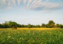
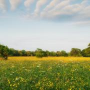
There are many areas around here that are open access land which you can explore many little paths to viewpoints some of these are Incleborough Hill, Town Hill, and Congham Hill. One of the highest points in Norfolk, located at around 100m (330 ft) above sea level and the site of an old signal beacon.

Seaview Beach Café
There has been a café around this spot for 100 years, and the current iteration also has a fossil display to sit alongside the tea and cakes and light meals. Easy to find – just keep an eye out for the mammoth – but it does open seasonally, so check before setting out.