Bollington is the perfect location to explore the diverse walking landscape that lies on the western edge of the Peak District.

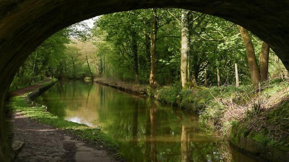
Bollington and the Macclesfield Canal
0 miles from Bollington
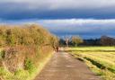
Head out from Bollington and take in a section of the Middlewood Way with some lovely views of the Macclesfield Canal along the way.
Click here to view the details of the Middlewood Way walk

Bollington and Pott Shrigley
0 miles from Bollington
Head north along the Macclesfield Canal, strike out into farmland and ascend a moor with vast views over the Cheshire Plain before returning to Bollington via the pretty village of Pott Shrigley.
Click here to view the details of the Pott Shrigley walk

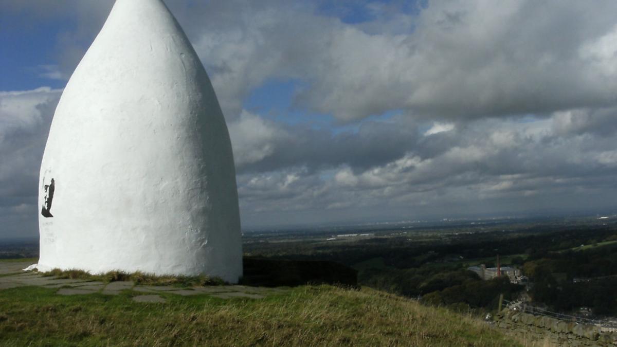
Kerridge and White Nancy
1 mile from Bollington
Head out from Bull's Head in Oak Lane in Kerridge and then make your towards one of Cheshire's most iconic landmarks, you will rewarded with fantastic views from the top of the hill.
Click here to view the details of the White Nancy walk

Higher Hurdsfield and Bollington
2 miles from Bollington
Take a brief ascent of Beeston Brow then onto the farmland of Higher Hurdsfield, into Bollington, skirting Kerridge and back again.
Click here to view the details of the Higher Hurdsfield walk

Prestbury and the River Bollin
3 miles from Bollington
The affluent village of Prestbury is just a few miles west of Bollington, this walk explores the area around the property hotspot with a riverside walk thrown in.
Click here to view the details of the River Bollin walk

Tegg's Nose Country Park
5 miles from Bollington
Start from the Leather's Smithy pub in Clarke Lane and take in a section of the Gritstone Trail before the reward of views overlooking Tegg's Nose and Bottoms reservoirs.
Click here to view the details of the Tegg's Nose Country Park walk
All the routes were correct at the time of publication, over time access to certain parts of the walk may be subject to change. We advise you acquire a recent OS map of the area you plan to visit and assure there are no major changes.