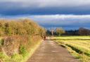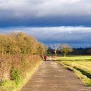
One great plus point of this walk in the Wirral is that there are no nasty hills to climb.

It’s difficult to resist a smile when you see the place name Thingwall. Blame the Vikings. Like so many of the more distinctive place names in Wirral, Thingwall is a relic of Old Norse. The meaning? Assembly field. So this cosy enclave was once a place where Viking invaders met to discuss matters of moment, such as, one assumes, which part of Cheshire to pillage next.
We start this month’s walk on Thingwall Road, heading off through Irby (another Old Norse name, probably meaning ‘the farmstead of the Irishmen’) and skirting Thurstaston Common - yes, another Old Norse place name commemorating an Old Norseman called Thorsteinn - eventually reaching Arrowe Country Park.
The more energetic among you may wish to add to your step count by mooching around the park’s 250 acres of woodland, ponds and manicured lawns. I certainly didn’t intend to see quite as much of Arrowe Park as I did, but a suspect sense of direction meant I added a good mile or so to this walk. If you don’t wish to follow in my misguided footsteps, then be sure, when you arrive in Arrowe Country Park, to stick doggedly to the paths on the edge of the woodland. In other words, head unerringly south.
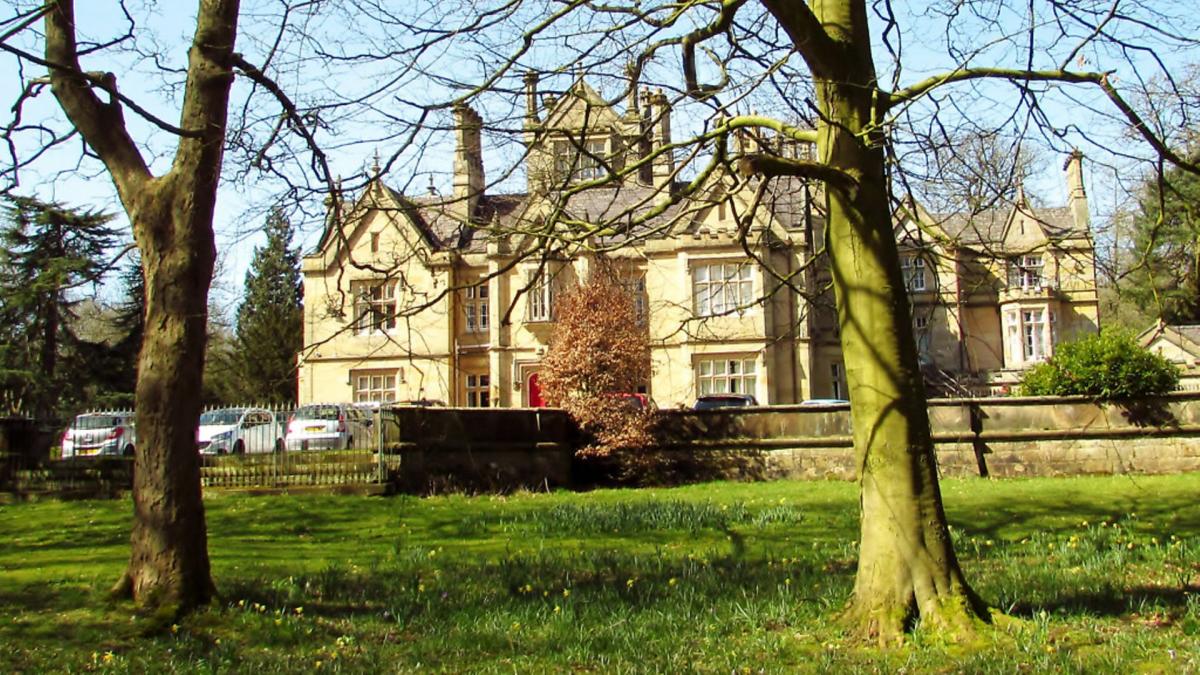
If you do take a wander around the park, seek out the impressive Arrowe Hall. It was built in 1835 by John Ralph Shaw on land which had originally been acquired by his great-uncle John Shaw. The latter had been mayor of Liverpool twice and was criticised for his compassionate efforts to help the poor and needy. The same John Shaw made his fortune allowing his ships to transport slaves from Africa to America. The irony of accusing a slave trader of being a bit of a soft touch was perhaps not quite as evident in late 18th century Liverpool.

DIRECTIONS
1. There is ample free parking in the long lay-by running parallel to Thingwall Road, opposite its junctions with Whaley Road and Elm Road (postcode CH61 3UQ). From here, cross over Thingwall Road and head right, towards Irby Village. You will soon come to an opening with a footpath sign for Pensby. Take this path through Harrock Wood, with a stream running to your right. When you reach a kissing gate, head right, down stone steps, over the stream and up steps the other side and straight across the next field with the hedge to your right. A stile brings you onto a fenced path with a hedge on the right. A metal kissing gate brings you onto a rough track, where you can see a road ahead.
2. Turn left onto this road and walk through Irby village. Reaching a T-junction take the path ahead of you, running to the left of the Anchor Inn. Keep to the right and look for a stile tucked away in the top right corner of the field. Emerging on Dawlish Road, go just a few yards and take the path on the left, following it around stables to a field. Cross this field with the duck pond on the left, and go through another stile, bearing right, passing a barn and going down a gravel drive to reach Thurstaston Road. Cross over and go right up the pavement.
3. After passing Daisy and Jake’s Nursery on the left, cross over the end of School Lane and continue ahead on a path into woodland. There are various paths here, but try to stick to the path running parallel with the little stream to your right. Eventually you will see houses ahead and the path meets the stream at a small foot bridge. Cross here, go through the kissing gate and bear left onto the bridleway signposted to Mill Hill Road. After a while, the path rises gently with big slabs of sandstone. Reach a junction with another rough track with houses ahead, keep straight on, go past the houses and down to Mill Hill Road.
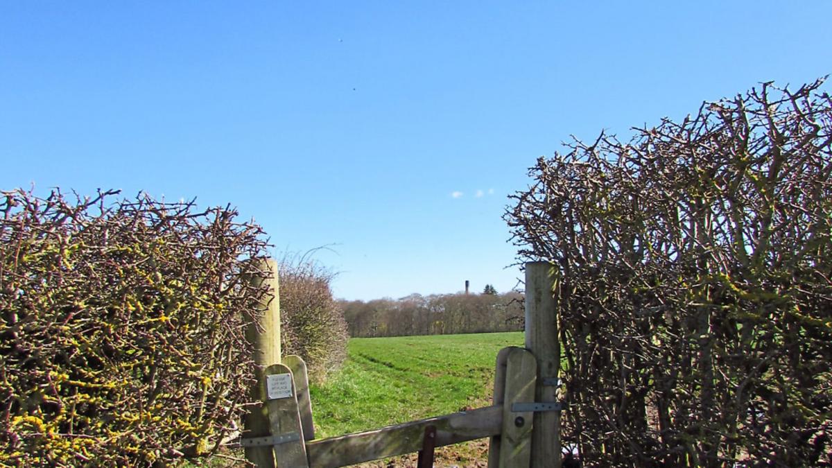
4. Turn left up Mill Hill Road to reach the roundabout where the Irby Mill pub stands. Bear right into Arrowe Brook Lane, taking care to keep to the narrow grass verge. Continue on this verge for several minutes, passing one footpath beside a house with horses’ heads on the gate posts. Continue beside the road for a few minutes longer and take the next path on the right, signposted Woodchurch, crossing two fields to reach a stile which brings you into woodland. Bear right.
5. You are now in Arrowe Country Park - 250 acres of parkland and woodland. It’s easy to get lost in the network of paths in the park (I know I did.) The rough rule of thumb is to stick to the path at the very edge of the woodland all the way back to Thingwall Road, turning right along the road to return to the starting point u
COMPASS POINTS
Area of Walk: Irby and Thurstaston
Distance: 5 miles
Time to allow: 2½ hours
Map: OS Explorer 266
Refreshments: Irby Mill, Mill Lane, Greasby CH49 3NT