This walk around the village of Sturmer is ideal for a walk as, although some of the route is on public rights of way, much of it is on less muddy country lanes and established tracks | Words and photos: Laurie Page Public Rights of Way Team at Essex County Council

The walk
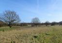
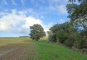
1) Opposite the church on the other side of the track you will see a gate with a footpath arrow. Follow this path between fencing and then through the next gate. Cross a ditch and go straight on, going uphill across the field.

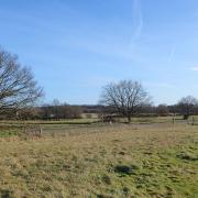
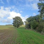
You should just be able to make out the line of the path. Head towards the cottage and buildings among the trees you see in the distance. As you get over the brow of the hill, bear left to a way marker post in the middle of the field.
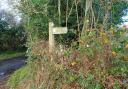
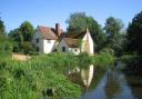
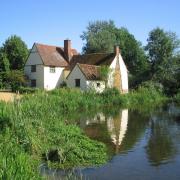
From here still head towards the buildings in the trees via two telegraph poles running across the route. You reach the footpath signpost by the lane at Abbotts Grove House.

2) Turn right along the lane. Proceed gently downhill for some distance, with some good views of the Essex countryside ahead. Where the lane bends sharp right by the corrugated barn, turn left along a metalled track towards Waltons Farm.
The track converts to an unmade surface. Pass the mustard coloured Walton farmhouse. Where you reach the trees on the right is where the old railway crossed the track. Continue on, past a house to the main road.

3) Turn left along the grass path running alongside the main road. At the speed monitor sign, cross the road and turn along Linnetts Lane. This bends left past a thatched cottage. Pass underneath an old railway bridge and then an information board telling you about the Heritage Trail of the Sturmer Steps.
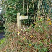
At Mere Cottage you can follow the raised path on the left. Cross the bridge over the stream and soon after, at the way-marker post, turn left onto a bridleway along a shady path.

4) Continue along the path which eventually emerges onto the edge of a large field. Proceed along a track passing Chalkses Farm to the road.
Bear right along the road and soon after take the next footpath on the left. At the raised old railway path turn right and after crossing the bridge turn left, taking you past the Red Lion pub.
Turn right along the main road and at the Garden Centre turn left along the footpath which takes you back to St Mary’s Church.
Distance: 3.2 miles (5.15km)
Starting point: St Mary’s Church, Church Walk, Sturmer CB9 7XD
How to get there: The village of Sturmer lies on the A1017 a mile south west of Haverhill. Church Walk is at the west end of the village.
Map: OS Explorer 210 Newmarket & Haverhill
Places of interest nearby: Haverhill is a Suffolk market town a mile to the north west.