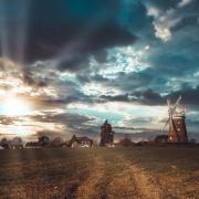
Take the chance to enjoy this winter walk, discovering exquisite countryside and historic churches in the south of the county | Words and photos: Laurie Page Public Rights of Way Team at Essex County Council

1) From the car parking area in front of the Post Office, go right along the pavement, passing the Forrester’s Arms pub. Where the houses end, take the turning on the left which leads to the busy A414. Cross over and go along Forest Lane, opposite.
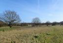
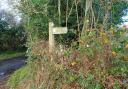
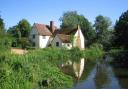
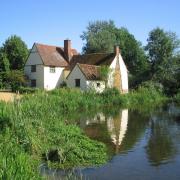
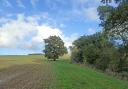
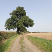
Further along, the road bends sharp right. Go around the farm gate, where the lane becomes a footpath. There are lovely open views to the right. Follow this track all the way to the end where you reach the parish church of Norton Mandeville. Just before the church, turn right through a gate onto a bridleway. (If you visit the church, which is usually open, you can access the bridleway at the back of the churchyard.)

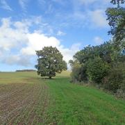
2) Go gently downhill along the edge of the field to cross a stream. Go right after the bridge and then bear left around the corner of the field, going uphill past a way-marker. Pass the buildings of Clevers Hall and go out to the right onto the access road by the hall entrance.
Bear left along the access road, taking you back to the A414. Cross over and just to the right, get over a stile and go left around the field boundary. Once you have reached the other side of the field, cross a footbridge and through a gate between fences to another gate and footbridge by the road.

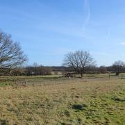
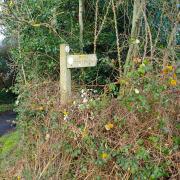
3) Turn right along the lane and at the next bend, turn left onto a bridleway. Continue along the hard surface, passing Paslow Hall, which has a pond, stables and farm buildings. Go through a gate onto a wide unmade track. Proceed straight on past another track to the left. A wood appears on the right.
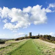
After some distance look out for a gap in the wood and a footpath (with a fallen post) running between the trees and then across a huge crop field. St Mary’s church can be seen ahead. At the end the path joins the road. Turn right along the pavement, passing the village hall. At the road junction, turn right to return to the starting point.
Ordnance Survey maps are available from all good booksellers and outdoor stores or visit the online shop www.ordnancesurvey.co.uk/al
Distance: 3.5 miles
Starting point: The Street, High Ongar, opposite St Mary’s parish church.
How to get there: High Ongar can be found by turning off the A414 a mile east of Chipping Ongar. As you turn off the A414 into the road called The Street, the church is on the north side of the road.
Map: OS Explorer 183 Chelmsford and the Rodings.
Refreshments: The Forrester’s Arms is a pub a little further along the road to the east of the church.
Tourist Information: Dunmow Library, 47 White Hart Way, Dunmow, Essex , CM6 1FS. Call 07519 585894. Open Monday to Friday, 10am to 1pm.
Places of interest nearby: A mile to the west is the old market town of Chipping Ongar. Near the parish church can be seen the mound of the privately-owned motte and bailey castle. There is a plaque in the High Street to David Livingstone who lived there in 1838.
In the same parish in the nearby hamlet of Greensted is the oldest wooden church in England with timbers dating from about 1060. The oldest grave, lying adjacent to the entrance to the church, is that of a 12th century Crusader, thought to be a bowman.