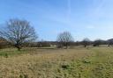
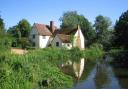
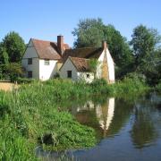
Although not far from London, you’ll find this exploration around Stapleford Tawney provides a very rural walk with beautiful distant views across the countryside and towards the capital
")
The walk
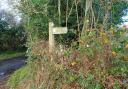
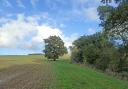
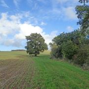
1. Go through the gap in the wooden fence at the footpath finger post, passing alongside the pretty parish church of St Mary. Keep to the right through the churchyard and exit out of the far right corner into a field. Descend gently to the track where you turn right along the wide, stony track. Pass under pylons. At the large oak trees where there is a fork, go right, then almost immediately left, following the path which runs diagonally across a crop field. There are good views around, including the red brick church of Theydon Mount to the left. Go down to the end of the field and at the way-marker cross the ditch. Go straight on downhill through a crop field to a yellow way-marker where you cross a footbridge.
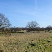
2. Turn right along the field boundary with the hedge to your right. In the corner of the field, go through the narrow gap to the left of the metal field gate and go straight on along the next field edge. At the next corner turn right to cross the footbridge and then left into a meadow, going up alongside Beachet Wood to the left. Cross a footbridge and two stiles into the next meadow, going up alongside the wood. At the next way-marker by a bridge and metal gate, bear right, going diagonally across the grass field heading for a gate in the hedge on the other side, by farm buildings. When you reach the gate, go right along the hedge to the next gate and cross the bridge into the car sales garage.
")
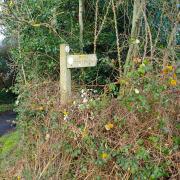
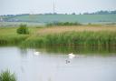
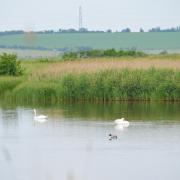
3. Go straight ahead along a Tarmac access road past the farm house. At the T-junction ahead turn right along the lane. There is a good verge on both sides. Continue to the road junction by the Moletrap pub (which sadly has now closed but is looking for a buyer if you’re up for it), where there is a seat for a rest if desired. Bear right following the signs for the bridleway (blue arrows). This is a wide, dusty track which bends left past another pond. Keep to the track passing farm outbuildings. On a clear day there are distant views of the London buildings of Canary Wharf to the right. Pass through a wooden gate where the path converts to grass.
4. Go gently downhill to a double gate which crosses a watercourse. Proceed back up alongside the field boundary. After a while the grass route becomes a dirt track. Pass through a metal gate past a haystack and then continue straight on through the farmyard of Little Tawney Hall, onto a semi-hard surface. This soon joins a lane. Go straight on along the lane for about a quarter of a mile, which takes you back to St Mary’s Church where you started.
")
COMPASS POINTS
Distance: 4 miles (6.4km)
Starting place: There is a small parking bay at the front of the Church of St Mary the Virgin. Tawney Lane (Sat Nav RM4 1DQ)
")
How to get there: From the A113 between Chipping Ongar and Abridge, just north of where it passes beneath the M25 motorway, turn into Tawney Lane. The church is about a mile further along on the left
Map: OS Explorer 174 and 175
Place of interest nearby: Just to the north, train enthusiasts will enjoy the Epping and Ongar Heritage Railway (Sat Nav CM5 9BN). You can take a ride on one of its four steam trains or on one of many diesel locomotives if you prefer. You can experience how a signal box works and there is also a shop and a dining car.
Ordnance Survey maps are available from all good booksellers and outdoor stores, or visit the online shop at ordnancesurvey.co.uk