This rural walk in and around the village of Margaretting follows footpaths and bridleways across a railway line and joins the Essex Trail of St Peters Way | Words and photos: Laurie Page Public Rights of Way Team at Essex County Council

The walk
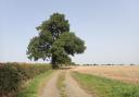
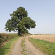
1) From the pub turn right past the red telephone box. At the fork in the road keep left (to Stock and Billericay). Follow the lane for a good distance.
Where it bends sharp left, go straight ahead through a metal gate and onto the bridleway. Proceed between the hedges and continue to the end where you reach a hard surface. Go straight on but soon after turn right onto a track.
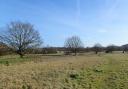
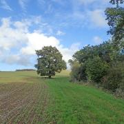
2) Follow the path which runs between a hedge to the right and the metal fence on the left. The route S bends past a wood to the right. Continue along a good wide track between black metal fences.

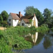
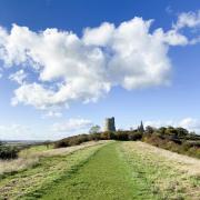
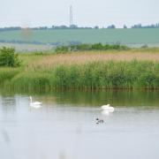
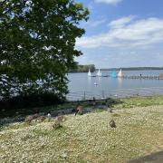
Cross a bridge over the River Wid and follow the track for some distance. Eventually you reach a metal gate in front of the railway line. You may wish to visit the church on the left. Otherwise cross the railway line.
3) After crossing, immediately turn right by Hall Cottages and follow a narrower path between the black metal fences. Where the fence ends, at the kissing gate, cross a footbridge and go straight ahead along the edge of a meadow.
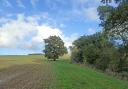
Pass a farm (Canterburys) and at the footpath fork soon after, take the right option, with a hedge to your left. In the far corner of the field, get over a stile by the pond and then go across a meadow to another stile. Cross the footbridge over the stream and immediately turn right along an unmarked path (St Peters Way) which runs parallel with the stream on the right.
4) Go through successive fields, taking you to the steps by the railway line. Go through a long tunnel running underneath the line (taller people will need to duck because there is limited headroom).

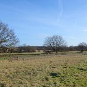
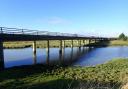
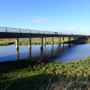
Go back up the steps on the other side where you do a U-turn, going through a kissing gate on the right and following the path running between the metal fence and the stream. Pass a little waterfall. Continue along this path enjoying the views of the countryside around. You also cross a footbridge over the River Wid.
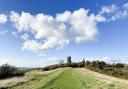
5) On the other side of the bridge, the path goes left, following the river bank. At the end of the large field look to the right, to cross a footbridge and go gently uphill, keeping the hedge to your left.
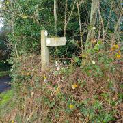
At the way-marker post, turn left through a wooden gate. Go up past the barn to join a lane. Follow the lane to the road junction. Then turn left to return to the White Hart pub.
Ordnance Survey maps are available from all good booksellers and outdoor stores or visit the online shop www.ordnancesurvey.co.uk/al
Compass points
Distance: 3.6 miles
Starting point: The White Hart pub, Margaretting Tye (Sat Nav CM4 9JX)
How to get there: From the A12, take the Galleywood junction turning onto the B1007 to Stock. At Stock village turn into Swan Lane, which takes you directly into Margaretting Tye and where you’ll find the White Hart pub.
Map: OS Explorer 183 Chelmsford & The Rodings
Refreshment: The White Hart pub at the start of the walk.
Places of interest nearby: A few miles south, in the neighbouring town of Ingatestone is the Tudor home of Ingatestone Hall, a Grade I listed 16th century manor house. The house was built by Sir William Petre and his descendants still live in the house to this day. It is open from Easter to the end of September on Wednesdays, Sundays and Bank Holidays. To the north is Chelmsford’s 18th century Hylands House, set in the grounds of Hylands Park, which was restored by Chelmsford City Council and is now open to the public.