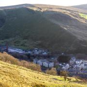
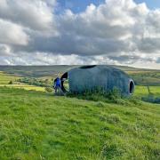
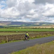
This glorious walk makes the most of the wonderful views in the Hodder Valley around Newton-in-Bowland and Slaidburn.
Newton is a lovely little village in the Hodder Valley on the edge of the Bowland fells and this is a great walk from there. I remember when I was a 14-year-old cyclist riding there with the Blackburn branch of the Cyclist Touring Club. If I recall correctly there was a café in a wooden building where the current village hall stands that sold bacon butties and fry ups. One of the older members poured the fat out of the frying pan on to my bacon butty telling me that it would give me energy for the rest of the ride! I don’t know if that helped, but I rode home ok and these days, whenever possible, I start my walks with a bacon butty at the nearest café.
This is a lovely walk that at first climbs uphill along Back Lane but after that the panoramic views make it worthwhile and, once refreshed at the café or shop in Slaidburn, the route along the river Hodder back to Newton is beautiful.

1. Leave the car park in Newton via the steps at the back end of it and at the bottom of the steps join the main road and turn right and walk through the village.
Newton is a very old village and is named in the Domesday Book as Neutone. There isn’t a bacon butty café there anymore but there is a fine dining pub/restaurant, The Parkers Arms named after the Parker family of Browsholme Hall near Bashall Eaves.
Turn right into Back Lane and follow this uphill and then simply keep on this road and follow it all the way to Slaidburn. Enter the village and pass the Hark to Bounty pub on the left. Keep on the road and pass the magnificent war memorial on the left and drop downhill towards the river Hodder. Enter the small car park on the right by the village hall.
Note: The Hark to Bounty was originally called The Dog but its name was changed when a local vicar heard the call Hark to Bounty by foxhunters chasing their prey. Slaidburn is the largest village on the whole of the River Hodder.

2. At the bottom of the hill, turn right into the village hall car park and carry on to a path going uphill with the river on the left. Don’t take the stile on the right but keep straight on to a gate stile leading into an open field the with the river on the left follow this to a stile and cross this then keep on towards a water treatment works.
At the works turn right and up to a stile and cross this then pass the back of the works and turn left back to the river and then right and follow the river on the left to a footbridge but do not cross this. Turn right and follow the path to another path then turn left and cross a stile into a small wood under a steep hill on the right and the river on the left, follow the path and exit the woods at a stile into a field then keep to the right slightly away from the river to reach a stile to the left of a wire fence then keep the fence to the left carry on to a stile and cross this then a track leading up to a farm on the right.
Keep straight on towards a metal gate keeping to a wall on the right. Just before the gate there is a stile on the right crossing a wall, cross this and then turn left and with the hedgerow on the left keep on to a footbridge and cross this and then a stile and keep on to a stile at the side of Newton Bridge.

3. Cross the stile and turn right and follow the road uphill and keep right as the road forks. At the top of the road turn right onto the road to Slaidburn and then keep onto reach the steps to the car park on the left.

COMPASS POINTS
Start and finish: Village car park, Newton
Distance. 5.8 miles/ 9.33km
Time: 2.5 -3 hours
Terrain: Quiet country lanes and riverbank walking shoes will be fine.
Map: OS Explorer OL41 Forest of Bowland and Ribblesdale.
Facilities: There are public toilets and the excellent Riverbank Tearooms by the village car park and a nice village shop in Slaidburn.
READ MORE: Food review - The Parkers Arms, Newton-in-Bowland


